Processing and analyzing geospatial data
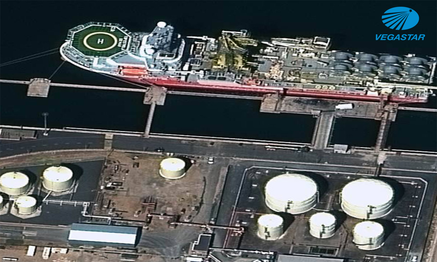
Being a distributor of many remote sensing satellite images such as optical images in remote sensing, radar remote sensing satellites with different resolutions (0.4m, 1m, 1.5m, 5m, 20m, 30m, 100m), taken at all altitudes on Earth, in all extreme weather conditions.
Remote sensing image processing tools include:
Imaging with control points (maps built from visible satellite images with natural colors, thereby shaping the image to reduce the geographic error of the image)

Visualize with control points and elevation numerical modeling
- Stereoscopic image
- Vector data such as landmarks, boundaries, traffic and water systems, thematic information layers
- Maps with different scales from vector and raster data
- Remote sensing image data processing and analysis services, GIS
- Remote sensing and GIS data processing and analysis services include:
- Analyzing and solving multi-criteria problems accordingly
The service provides solutions to analyze high-resolution images such as sub-pixel analysis, non-blend spectrum analysis, etc. to extract information for the blended pixels
Advanced analytical solutions in GIS to produce results with high accuracy: correlation analysis, network analysis, creating surface models, analyzing convergence and dispersion of geographic features. and natural phenomena, the methods of interpolation calculation based on the analysis and statistics of the characteristics of the input data source
Providing solutions to building predictive models based on remote sensing image data sources and GIS


