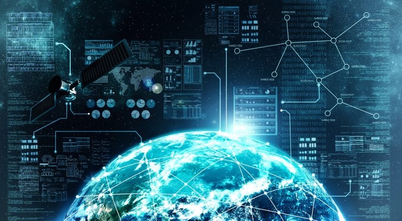
Technology Geospatial
Providing solutions, services & software in the field of geospatial remote sensing for air, sea, land, and space missions.
Satellite image
- Provide remote sensing data
- Remote sensing data acquisition system
- Remote sensing data processing software system
- Remote sensing data storage and sharing system
- Processing and analyzing remote sensing data
- Consulting and designing remote sensing solutions
- Technology transfer training
Geographic Information System (GIS)
- Building GIS. database
- GIS database integration and standardization
- Training on transferring processing technology and building GIS database
Big data analysis and application of artificial intelligence (AI) in spatial data processing.
Construction and establishment of topographical and thematic maps