VegaSpace provides a comprehensive ecosystem of advanced geospatial solutions and services, integrating space technology and modern remote sensing to enable seamless geospatial data collection, processing, and analysis. By leveraging cutting-edge technologies such as Artificial Intelligence (AI), Big Data, and Cloud Computing, VegaSpace delivers optimized solutions for environmental resource management, agriculture, smart cities, and national security, empowering organizations to maximize the potential of digital geospatial data.
GEOHUB – Smart Geospatial Platform
An integrated platform providing tools and services for geospatial data collection, processing, storage, and analysis. GEOHUB ensures seamless integration between remote sensing, GIS, and other spatial data sources, creating a comprehensive ecosystem for geospatial applications.
KEY TECHNOLOGY SOLUTIONS
🔹Virtual Multi-source Receiving Station (VmRS) – Community Version
A breakthrough solution for receiving satellite data from multiple sources, enabling data integration and synchronization. The community edition provides access to space technology for research institutions, academia, and the scientific community.
🔹Artificial Satellites
Providing custom satellite development, deployment, and operations services, supporting applications such as environmental monitoring, land surveillance, climate change tracking, and disaster management.
🔹Geospatial Cloud Computing Services
A specialized cloud computing platform for geospatial data, offering high-performance processing and analytics. This solution is ideal for organizations handling large-scale geospatial datasets without the need for complex infrastructure investments.
🔹Space Service Center
A hub providing comprehensive services related to space technology, from consulting and design to implementing space technology application solutions across various fields.
🔹Geospatial Data Management System
Integrated solution for collecting, storing, managing, and sharing geospatial data. Supports multiple data formats and provides tools for quick and efficient information search and retrieval.
🔹Geospatial Data Processing & Analysis Software Suite
A suite of professional software tools for processing, analyzing, and displaying geospatial data. Applies artificial intelligence and machine learning to enhance the ability to analyze and extract information from spatial data.
🔹Open Source Data Collection Software
A solution for integrating open-source geospatial data sources, allowing organizations to access and efficiently utilize available geospatial datasets. Supports various formats and data sources, ensuring flexibility and efficiency.
SPECIALIZED SERVICES
🔹Remote Sensing
- Remote Sensing Data Services: VegaSpace provides multi-resolution, multi-temporal satellite data from various advanced satellite systems and sensors, catering to applications from environmental monitoring to urban planning.
- Remote Sensing Data Acquisition Systems: A solution for acquiring satellite data from multiple platforms, ensuring high accuracy and real-time updates.
- Remote Sensing Data Processing Software: A suite of advanced image processing tools for analyzing radar, optical, and infrared satellite imagery, with AI-enhanced precision analytics.
- Remote Sensing Data Storage & Sharing Systems: Intelligent storage solutions for optimized access, sharing, and utilization of remote sensing data, supporting collaborative research and multi-disciplinary applications.
- Remote Sensing Data Analysis & Processing: Professional services for in-depth remote sensing data analysis, integrating AI and advanced techniques.
- Remote Sensing Solution Consulting & Design: Supporting businesses and organizations in developing customized remote sensing solutions tailored to specific industry requirements.
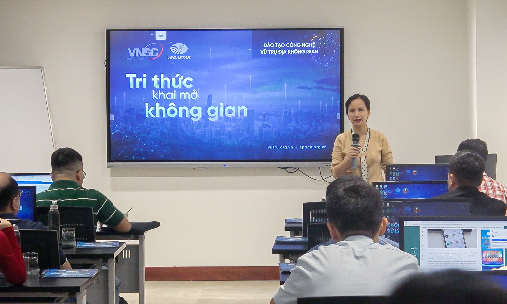
- Remote Sensing Technology Training & Transfer: Providing specialized training programs in remote sensing technology, from fundamentals to advanced applications.
🔹Geographic Information System (GIS)
- GIS Database Development: Custom GIS database development and implementation services.
- GIS Data Integration & Standardization: Solutions for synchronizing, optimizing, and standardizing GIS data from multiple sources, ensuring efficient and accurate system operation.
- GIS Technology Training & Transfer: Comprehensive GIS training programs, including hands-on experience in GIS system development and utilization.
- Big Spatial Data Analysis & AI Applications: Specialized AI-powered geospatial data analytics services leverage machine learning to extract meaningful insights.
- Topographic & Thematic Mapping Solutions: Design, development, and production of high-precision topographic and thematic maps, adhering to international mapping standards.
Contact us at +84 867 103 669 or email info@vegastar.com.vn to explore tailored geospatial and space technology solutions for your organization!