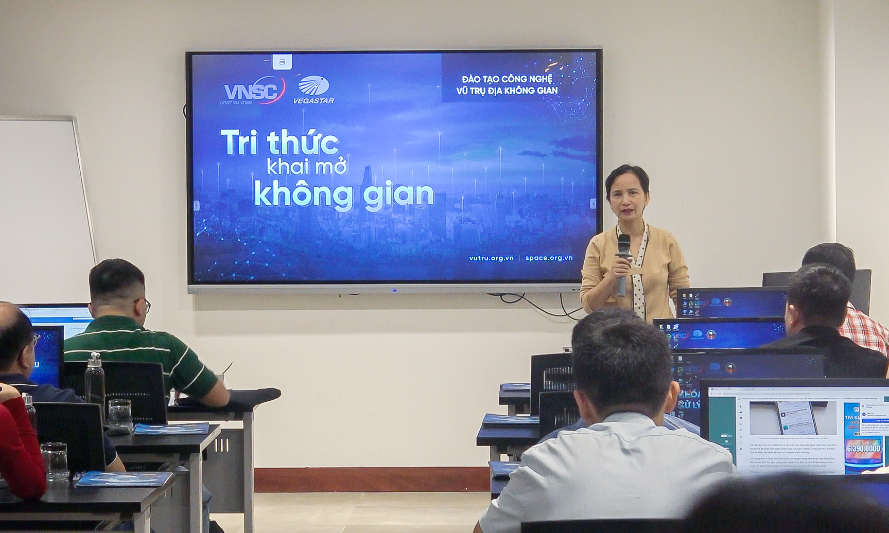
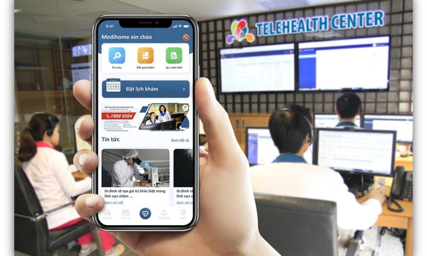
An ecosystem of advanced technical services, designed and operated by leading experts, providing comprehensive solutions for information technology and telecommunications infrastructure. Applying the latest technologies in cloud computing, network security, and digital infrastructure, VegaService delivers high-quality services that meet the increasingly complex needs of organizations and businesses in the digital era.
A leading technology solutions center with modern technical service systems, meeting all needs from basic to complex in the digital transformation era. With a team of talented and experienced engineers and experts, VegaService delivers innovative integrated solutions, optimizes operations, and enhances performance for all technology systems.
KEY SERVICES
🔹Cloud Computing Services
Providing specialized cloud computing platforms tailored for various industries:
-
Geospatial Cloud Computing: A high-performance solution for storing, processing, and analyzing large-scale geospatial data, supporting applications such as remote sensing, GIS, 3D simulation, and spatial analytics.
-
Cloud-Based E-learning Solutions: A flexible and scalable online learning platform, capable of supporting both small classes and large-scale training programs with thousands of concurrent learners.
🔹Consultation, Installation, and Maintenance of IT Infrastructure Systems
A comprehensive solution covering consultation, design, deployment, and maintenance of IT infrastructure. With extensive expertise in emerging technologies, our specialists ensure stable and efficient system operations.
🔹Deployment of server and data storage solutions
We provide customized server and storage solutions tailored to the specific needs and scale of each organization. Services include:
- Consultation and system design
- Deploy and configuration of physical and virtual servers
- Development of large-scale data storage systems
- Backup and disaster recovery solutions
- Remote system monitoring and management services
🔹Network Infrastructure Deployment Services
Designing and implementing modern network infrastructure, ensuring stability, security, and high performance. Services include:
- Network infrastructure consulting and design
- Deployment of LAN, WAN, and WLAN networks
- Network device configuration and optimization
- SD-WAN and software-defined networking (SDN) solutions
- Network management and maintenance services
🔹Cybersecurity Services
A comprehensive security framework to protect IT systems against increasingly sophisticated threats. Services include:
- Security vulnerability assessment and penetration testing
- Deploy firewalls, IDS/IPS, and VPN solutions
- Endpoint security and malware protection
- Security monitoring and incident response
- Compliance consulting for international cybersecurity standards
TECHNICAL SERVICE CENTER
A centralized hub offering professional technical services across multiple sectors:
🔹Electrical & Electronic Engineering Services
- Design and installation of industrial and residential electrical systems
- Maintenance of specialized electronic equipment
- Inspection and calibration of electrical and electronic devices
- Repair and upgrade of complex electronic systems
🔹Telecommunications & IT Services
- Telecommunication system design and deployment
- Maintenance and upgrade of telecom infrastructure
- Professional IT technical support services
- IT infrastructure management and operations
🔹Aerospace & UAV Services
- Maintenance and repair of unmanned aerial vehicles (UAVs)
- Inspection and calibration of flight control and navigation systems
- Customization and enhancement of UAV systems
- UAV operations training and certification programs
🔹Subsurface Equipment Services
- Installation and maintenance of underground cable systems
- Inspection and repair of underwater operational equipment
- Deployment of monitoring and observation solutions for subsurface environments
- Technical consulting for complex underground infrastructure
Commitment to Excellence
-
Expert Technical Team: Highly trained personnel with international certifications and extensive industry experience.
-
Cutting-Edge Technology: Leveraging the latest technology and modern equipment to ensure superior service quality.
-
Rapid Response Time: Minimizing downtime with fast issue resolution, ensuring uninterrupted operations for clients.
-
Comprehensive Solutions: Providing end-to-end services, from consultation and design to deployment and maintenance.
-
24/7 Support: Dedicated technical support available 24/7, ensuring continuous system reliability.
Contact us at +84 867 103 669 or email info@vegastar.com.vn to explore VegaService’s advanced technical solutions and experience world-class engineering services!


