Geolocation: Ho Chi Minh city
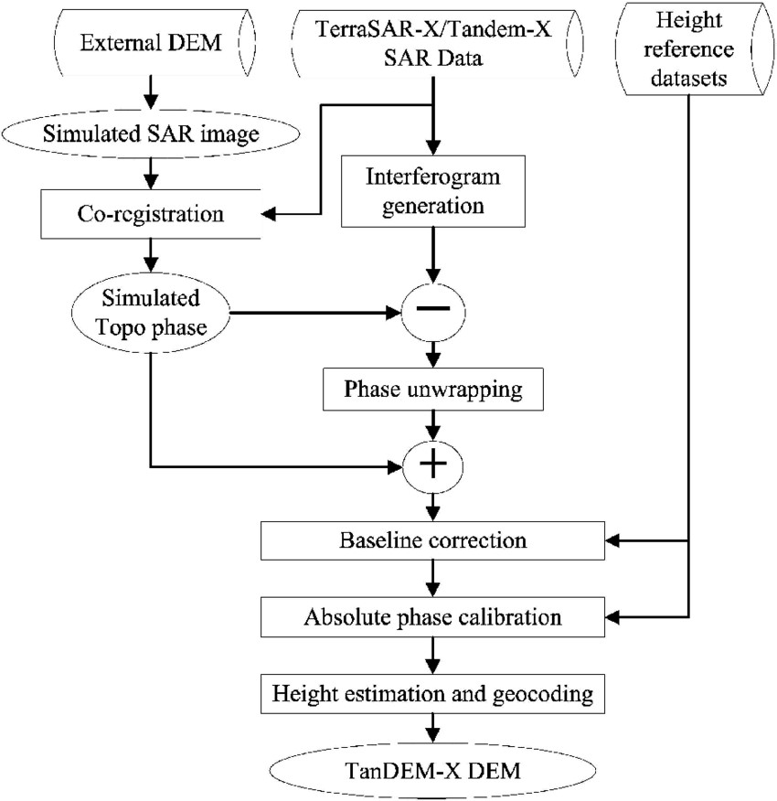
Methodology: The two satellites TerraSAR-X and TanDEM-X operated as a single-pass SAR interferometer (InSAR), using the bi-static InSAR StripMap mode. At least two complete data coverages of the Earth’s surface were acquired to generate the DEM product. The product will feature an accuracy of 2m (relative) and better than 6m (absolute).


