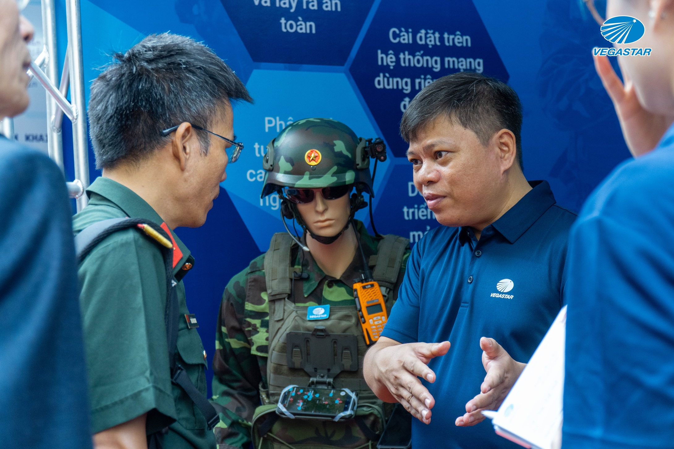
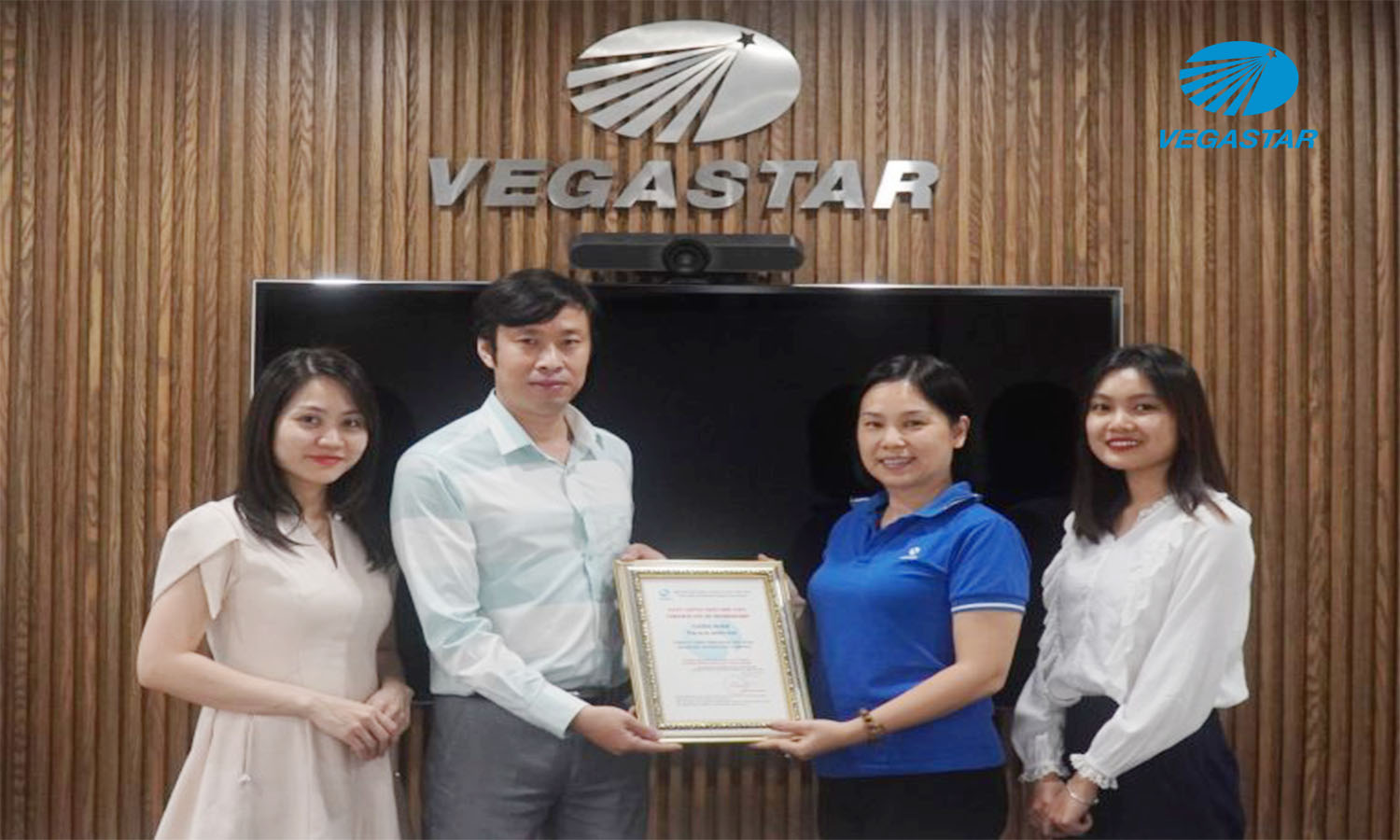
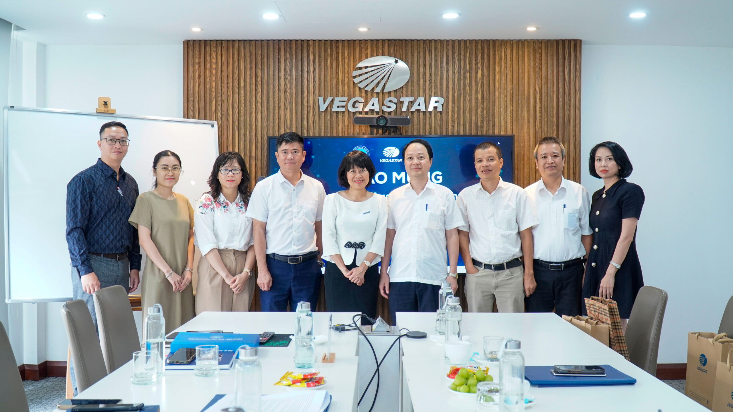
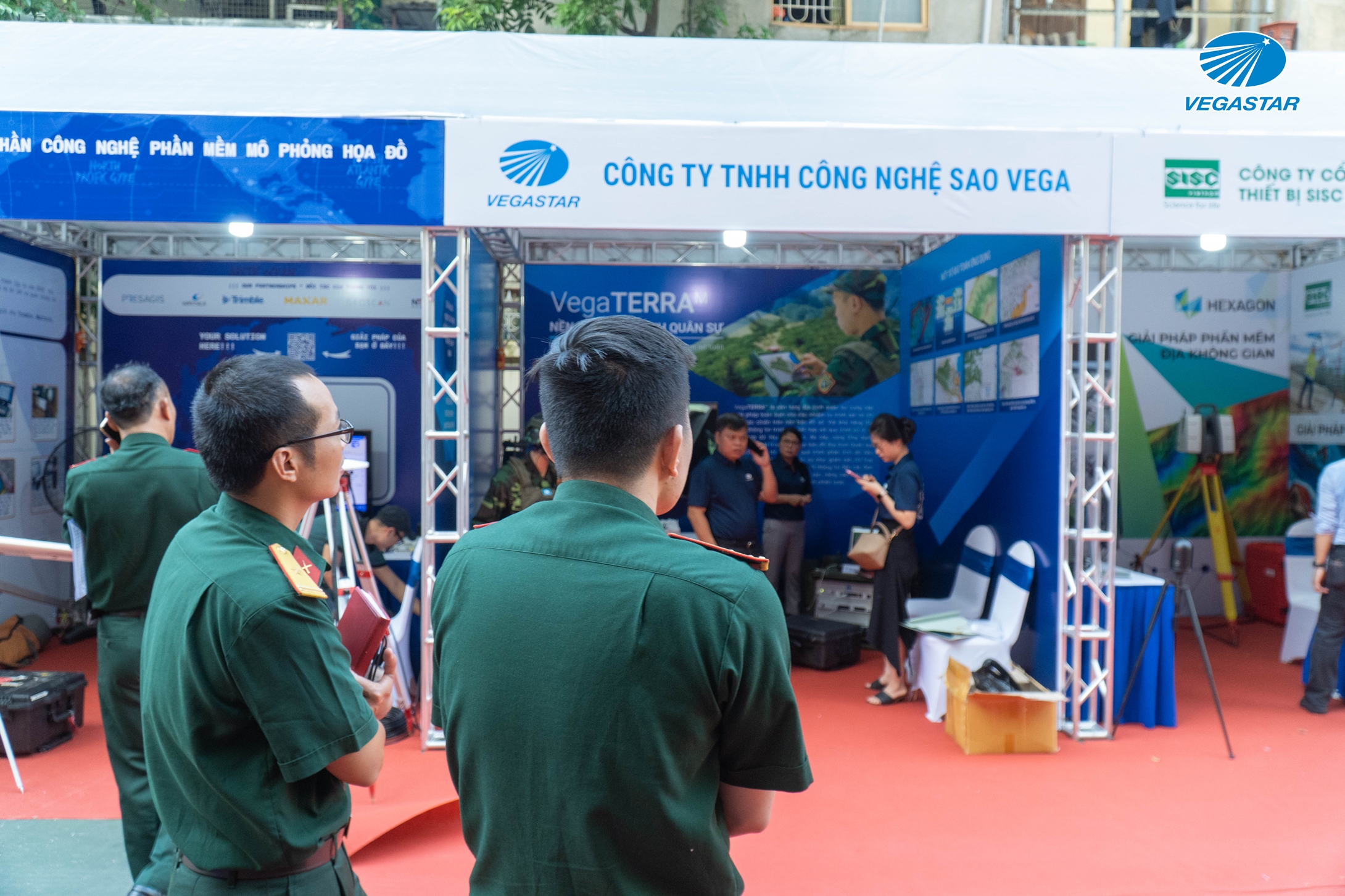
In celebration of the 80th anniversary of Defense Mapping Agency of Vietnam (General Staff), the Department organized the 5th Military Terrain Science Conference in 2024 under the theme “Military Terrain in the Digital Transformation Era” on September 20th. Vegastar Technology is proud to be one of the participating units in this conference.
The conference was attended by leading scientists and lecturers in the fields of terrain and geology from prestigious institutions such as Hanoi University of Natural Resources and Environment (HUNRE), Hanoi University of Mining and Geology (HUMG), VNU University of Science (VNU-HUS), Military Technical Academy (MTA) as well as representatives from military branches, corps, and divisions from the northern regions.
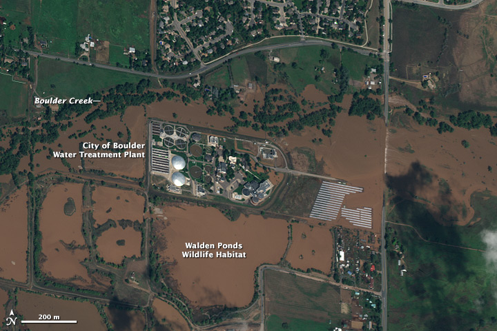
The scientific conference focused on key areas such as positioning and navigation, remote sensing mapping, and terrain simulation – GIS.
With nearly 25 years of development and as one of Vietnam’s leading technology companies, Vegastar Technology consistently innovates and applies advanced science and technology to the field of military terrain. The company specializes in areas such as military remote sensing, military navigation and positioning, geographic information systems (GIS), terrain simulation, and electronic warfare, ensuring effective technology application and specialized equipment development.
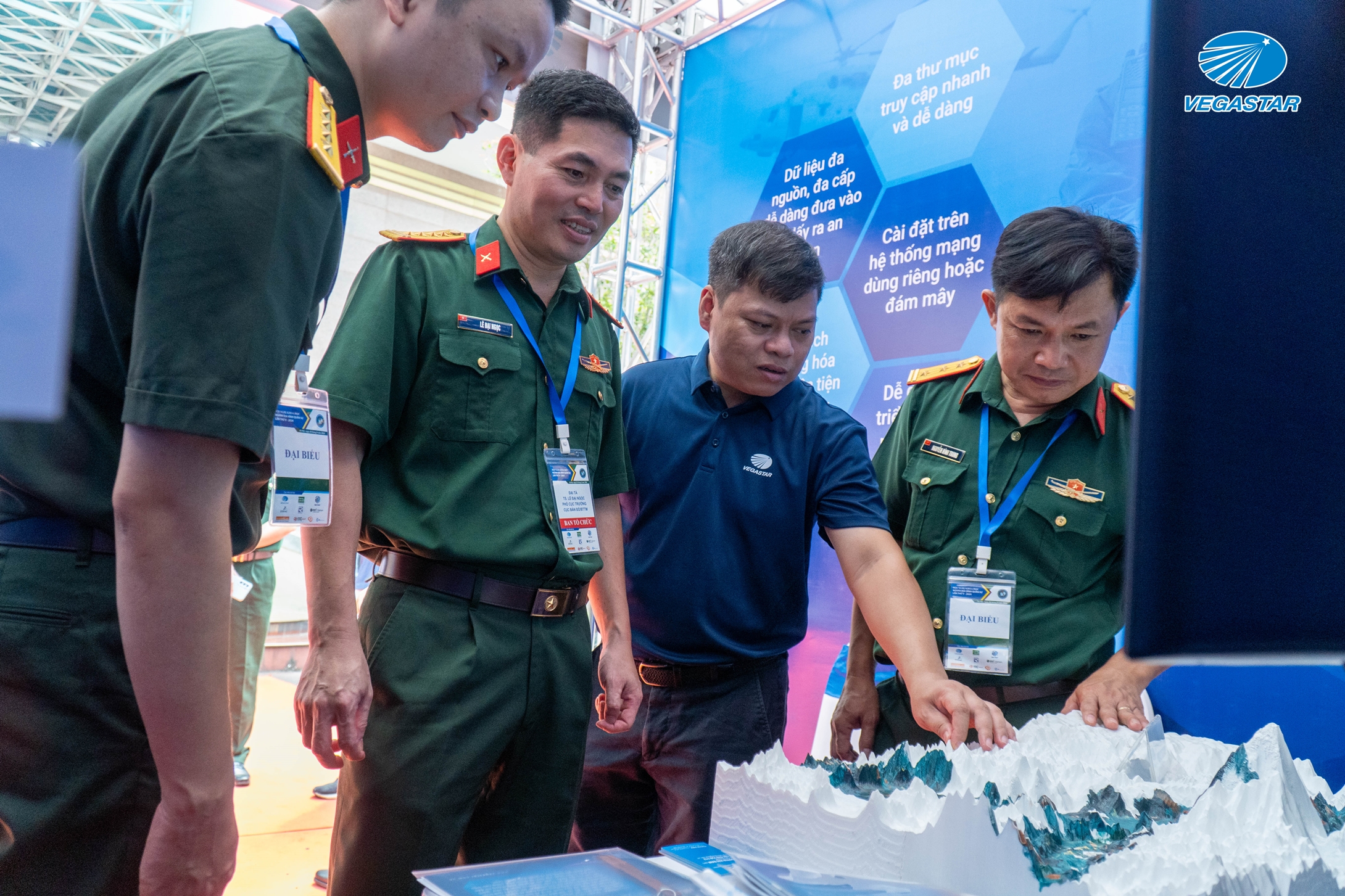
As a pioneering leader in military terrain technology, Vegastar proudly showcases comprehensive, cutting-edge technology solutions at the conference:
– Remote sensing data with various resolutions; reference and elevation data of multiple accuracy levels, serving and applying to military terrain and national defense security tasks.
– Geospatial data analysis technologies, solving military and national security terrain challenges.
» VegaTerraM: A comprehensive military terrain platform solution for digital map surveillance and combat command tasks.
» Vega GeoHub: An intelligent terrain data management platform.
» VegaGEOINT: A comprehensive geospatial intelligence solution.
» Vega Virtual multi receiving Station (VmRS): A multi-source virtual satellite receiving station system, connecting with over 400 satellites globally.
» Vega AI Solution: Enhancing efficiency through process automation, accelerating data processing, report generation, and optimizing the steps for machine learning and AI applications.
» Vega GIS data management system (GDMS-GISM): A comprehensive GIS data management solution.
» Vega EO data management system (GDMS-EOM) allows scientific and efficient storage, processing, and management of remote sensing data.
– Vega Space & Geospatial Academy (VSGA): provides an e-learning platform, courses on Systems, tools, technologies, and the development of military digital terrain applications.
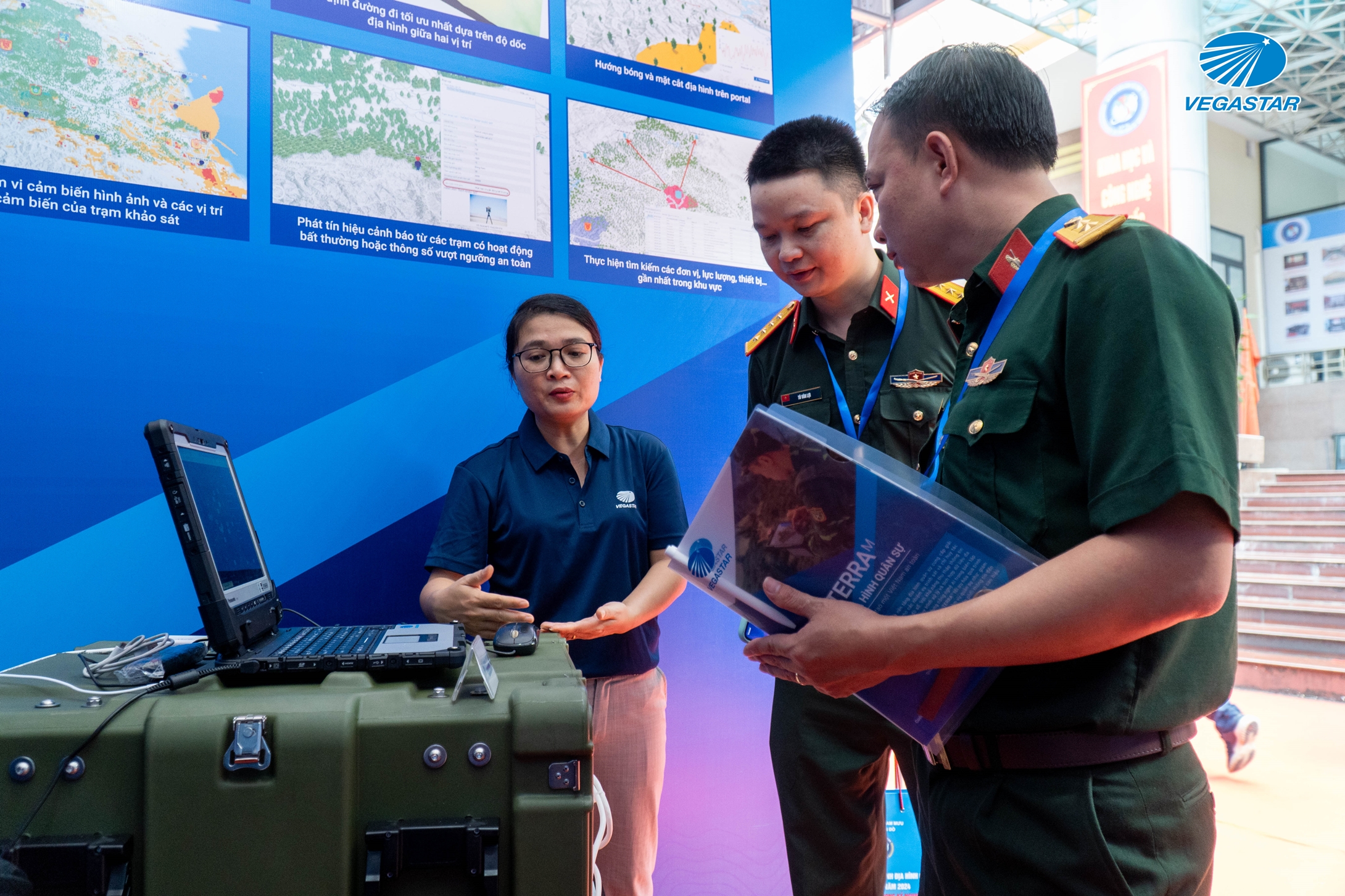
With a strong focus on research and development, Vegastar Technology is committed to continuous improvement, enhancing product and service quality, and contributing to the development of the military terrain field and national defense.
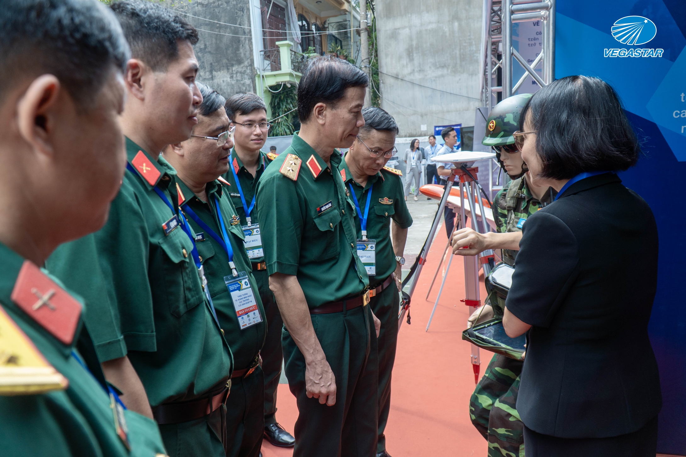
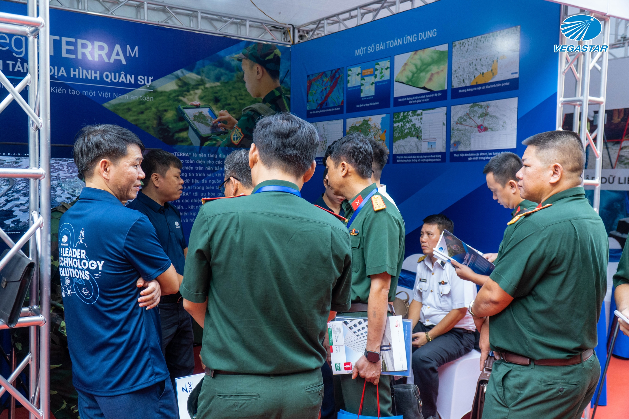
Exhibition highlights:
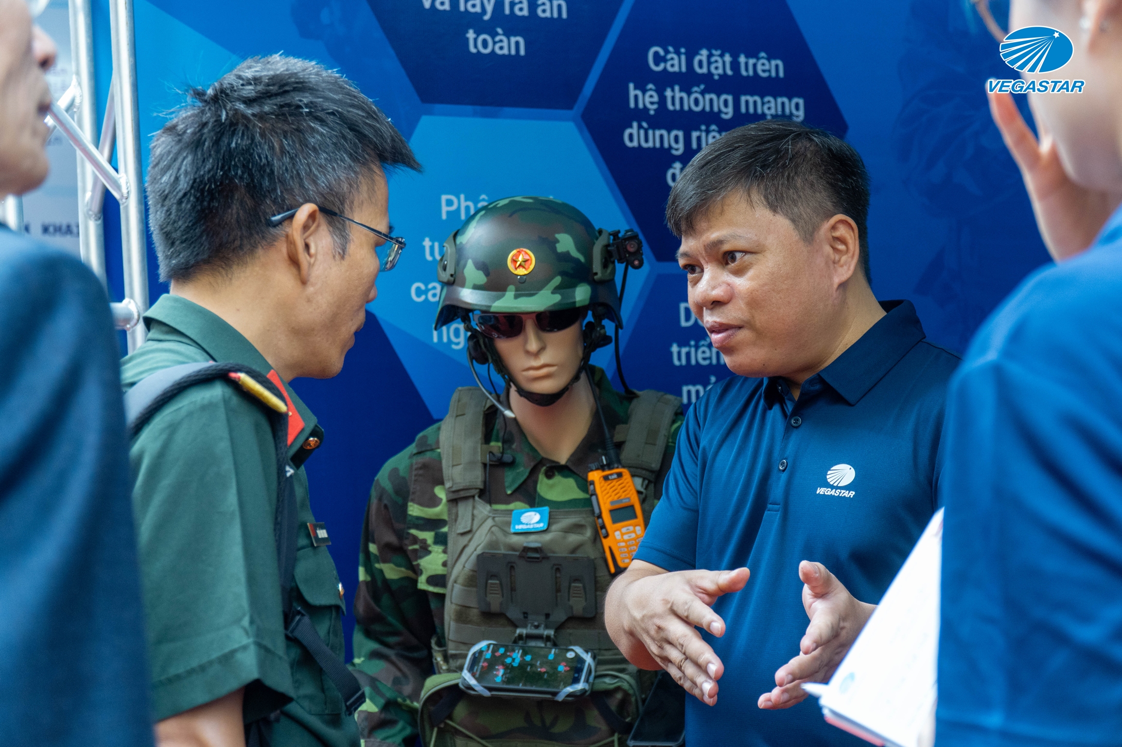

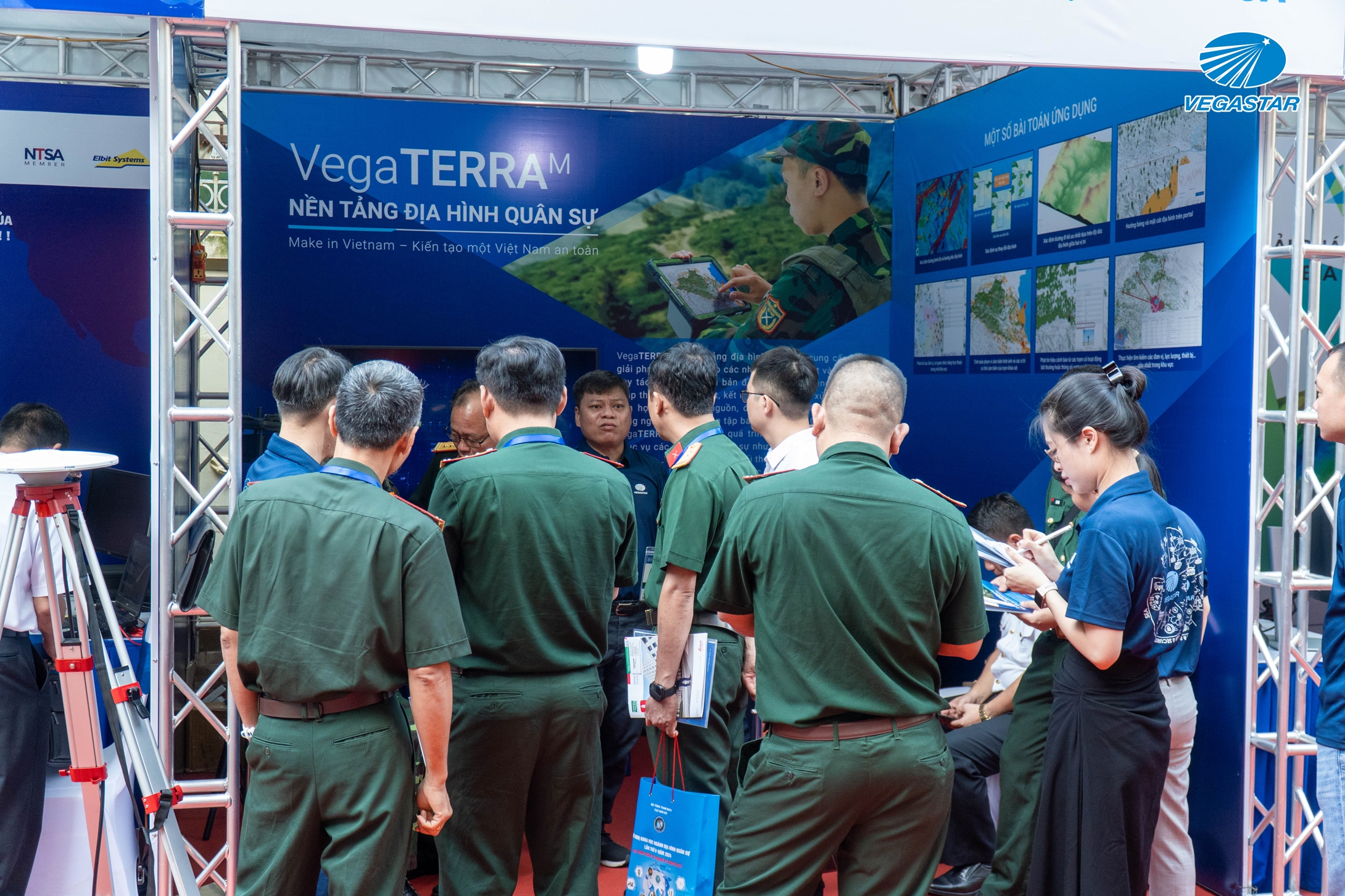
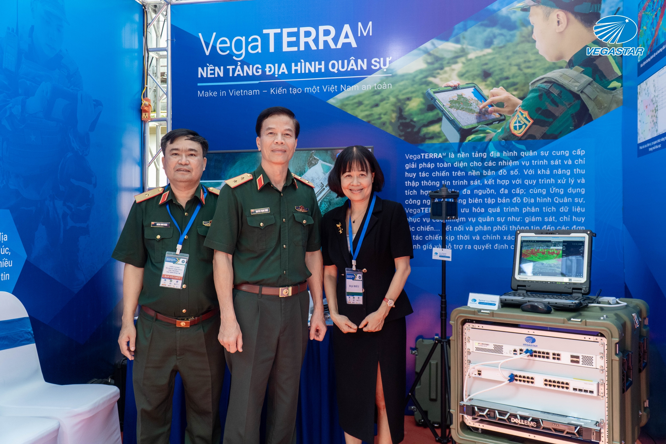
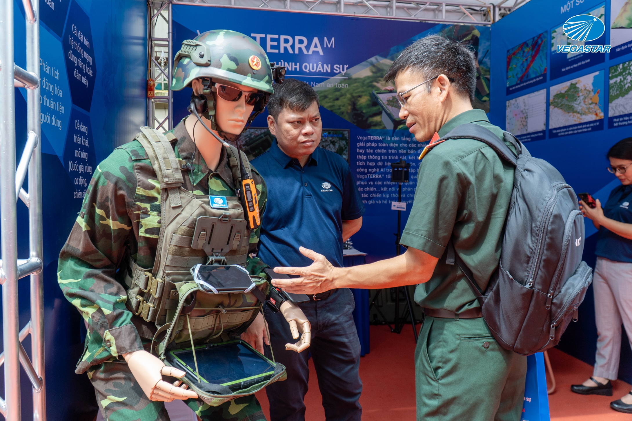
Source: Vegastar

