Natural disasters, with their increasing frequency and intensity due to climate change, are causing severe economic, social, and environmental consequences worldwide. Assessing the impacts of disasters is an urgent and complex task, requiring accurate and up-to-date information on the scale and extent of damage across vast areas. Timely and precise monitoring and evaluation of these impacts are critical for supporting relief efforts, reconstruction, and policy planning for disaster response. Traditional methods often face limitations in terms of time, cost, and accessibility to heavily affected areas. This article focuses on leveraging the superior capabilities of remote sensing and Geographic Information Systems (GIS) to develop an efficient process for rapid monitoring and assessment of disaster impacts, thereby enhancing response capabilities and mitigating risks.
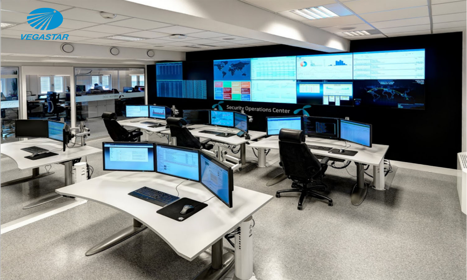
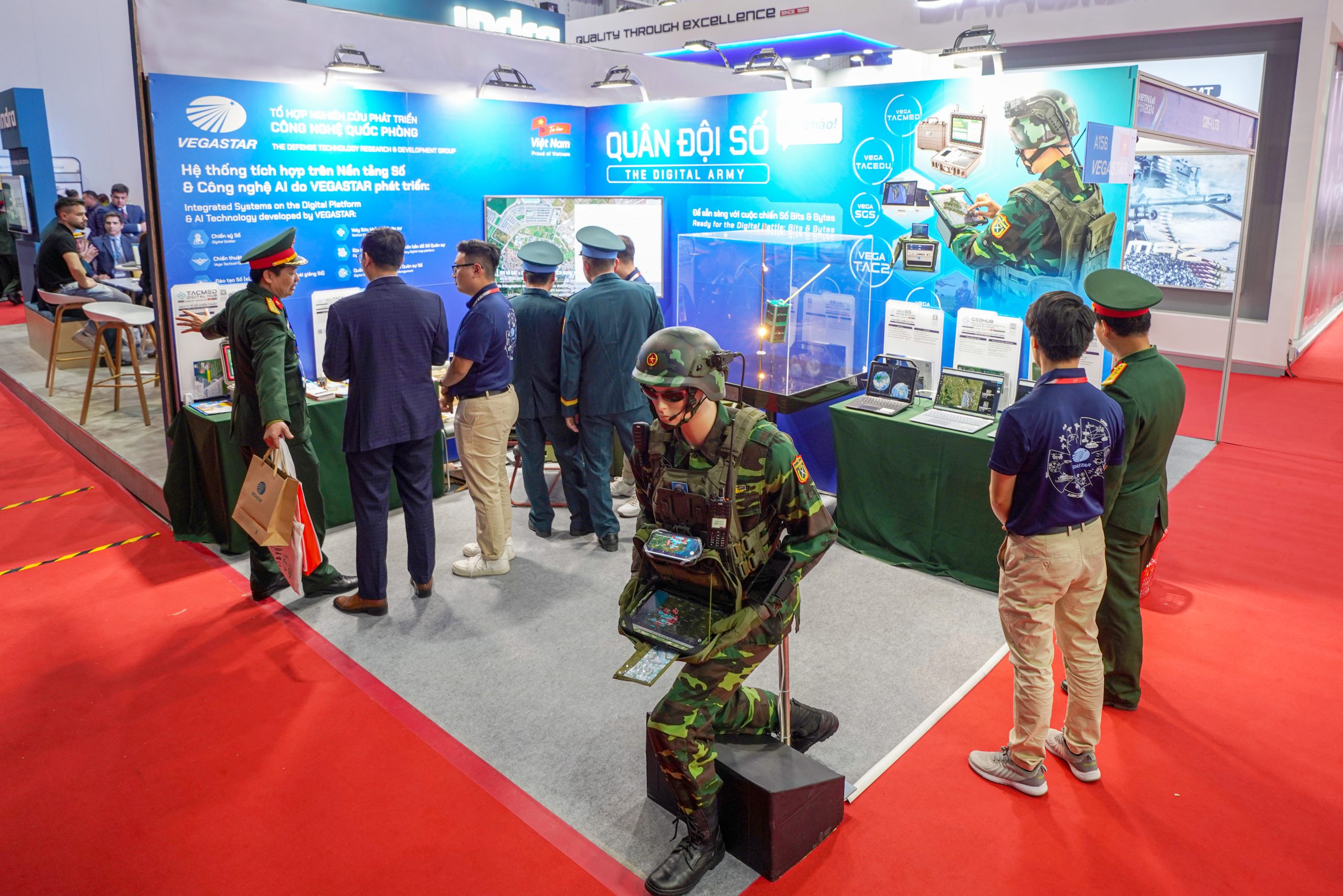
The entire process of data processing and analysis is implemented on the GEOHUB smart geospatial platform, developed by VEGASTAR TECHNOLOGY, a pioneering high-tech enterprise in the application of spatial data in Vietnam. GEOHUB integrates multiple data sources and technologies, including remote sensing, GIS, artificial intelligence (AI), and big data, to provide comprehensive and timely insights for disaster monitoring and response activities.
")
")
Path of Typhoon Wipha (top). Identification of flooded areas along the coastal region of Hai Phong city (blue areas) (bottom). Source: GEOHUB Geospatial Platform
")
Delineation of flooded areas in the mountainous region of Nghe An by overlaying surface water detection results on permanent water body data (green).
During a typhoon, relevant information is collected, analyzed, processed, and consolidated rapidly, then integrated into a geospatial platform to provide a comprehensive overview of the affected area. Specifically, data on the typhoon’s path, including time, coordinates, wind speed, and pressure, is sourced from the U.S. National Oceanic and Atmospheric Administration (NOAA). Based on the typhoon’s path, speed, and forecasts from the National Center for Hydro-Meteorological Forecasting, plans are made to acquire satellite imagery. In this context, Synthetic Aperture Radar (SAR) imagery is the optimal choice as it is unaffected by weather conditions. SAR imagery is used to extract flood and land cover information, enabling the identification of affected objects in flooded areas and the assessment of damage levels.
The entire process of acquiring, processing, and analyzing SAR imagery for disaster monitoring is automated by GEOHUB, significantly saving time and resources for relevant authorities. This is a key advantage of GEOHUB compared to previous fragmented and manual monitoring systems.

")
Flood layer caused by Typhoon Yagi, extracted from SAR imagery on September 10, 2024. Source: GEOHUB Geospatial Platform
The analysis process not only utilizes data extracted from remote sensing imagery but also incorporates field reports from central and local government agencies. As a result, the analysis is both accurate and timely, which is crucial for supporting decision-makers in developing response plans, coordinating rescue operations, and addressing post-disaster recovery. A smart report is generated, providing a comprehensive overview of the typhoon’s progression from start to finish, delivering valuable information for government agencies and businesses. All this information is managed on the geospatial platform.
Notably, GEOHUB enables the automatic generation of smart reports with visualized content based on affected areas, impact levels, and impacted objects, effectively supporting coordination, rescue efforts, and recovery planning.
")
Damage assessment report for Typhoon Yagi in Hai Phong, September 2024. Source: GEOHUB Geospatial Platform
The platform is not limited to one-way information provision; users can interact by uploading images or videos of their locations affected by the typhoon. This community interaction feature is a standout aspect of GEOHUB, transforming citizens into “data links” within the disaster monitoring process, thereby enhancing the system’s accuracy and response time.
")
Post-typhoon imagery from Cat Ba wholesale market integrated into the geospatial platform.
Geospatial technology has become an increasingly valuable, rapid, and convenient tool, particularly in the context of recent digital transformation efforts. The final product simplifies data utilization, bridges the gap in adopting advanced technology, and makes it more accessible to users. This article demonstrates that the integrated application of remote sensing and GIS technologies delivers significant benefits in monitoring, analyzing, and comprehensively assessing disaster impacts. From real-time damage mapping to tracking recovery processes, these tools provide critical information for decision-makers and policymakers. In the future, deeper integration of AI and big data with remote sensing and GIS will usher in a new era of disaster risk management, paving the way for a more resilient and safer society in the face of climate change challenges.
As a high-tech “Made in Vietnam” product, GEOHUB not only enhances Vietnam’s domestic disaster response capabilities but also serves as a testament to the proactive, innovative, and forward-thinking approach of Vietnamese technology enterprises like VEGASTAR TECHNOLOGY in the context of globalization and increasingly complex climate change challenges.