(Reported by TN&MT) Hanoi, Vietnam – December 27, 2023: The Department of Survey, Mapping and Geographic Information Vietnam (DOSM) held a conference summarizing the basic course on the use of specialized software for building, managing, and operating Vietnam’s national geographic database. The conference was chaired by Mr. Duong Van Hai, Deputy Director of the Department of Survey, Mapping and Geographic Information Vietnam.
Representing the organization responsible for developing and operating the online training platform were Mr. Nguyen Ngoc Quang, Director of Vega Space and Geospatial Academy (VSGA), Ms. Do Thi Hang, Deputy Director of VSGA, and Mr. Vu Huu Tuan, Deputy Technical Director of Esri Vietnam.
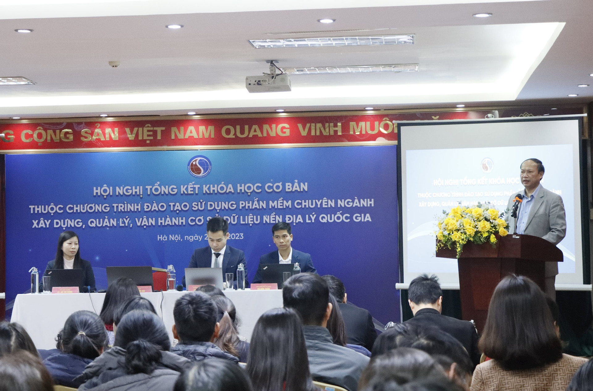
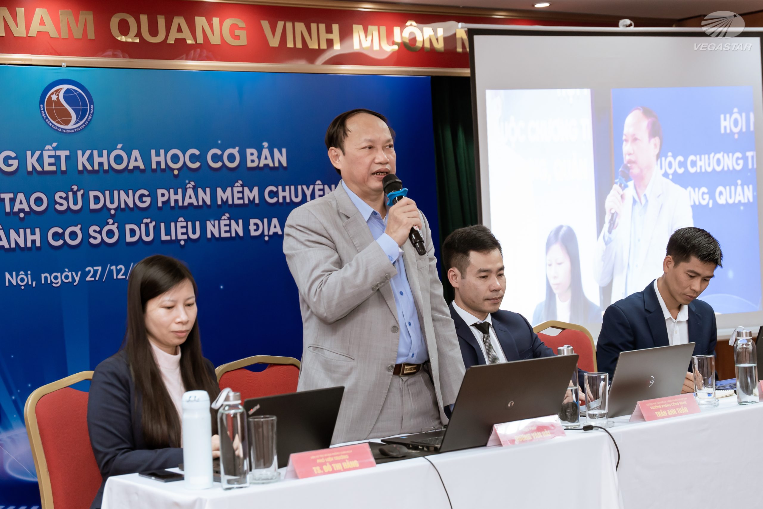
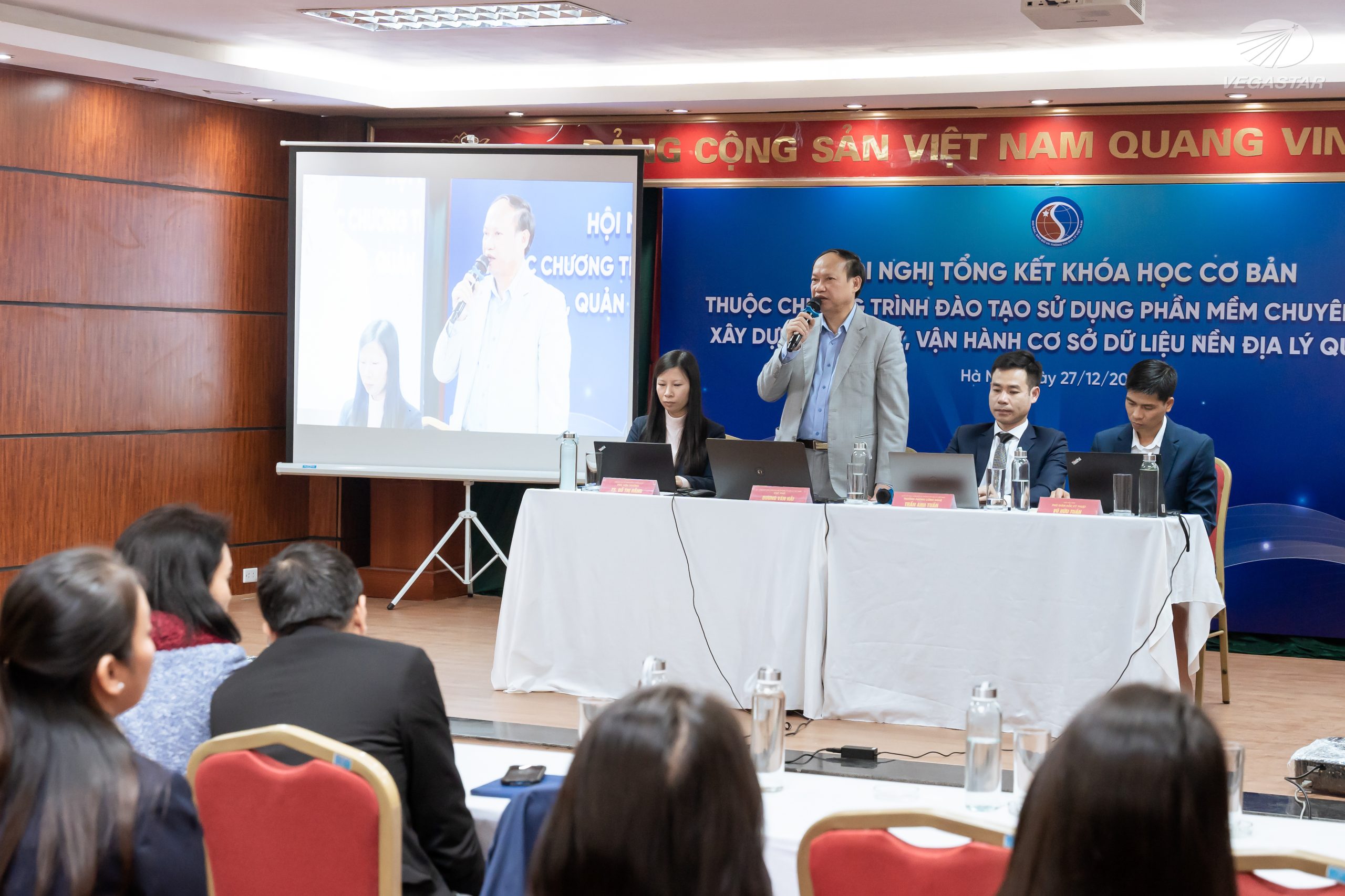
Mr. Duong Van Hai, Deputy Director of DOSM, spoke at the conference.
In his opening remarks, Mr. Duong Van Hai stated that, following Decision No. 40/QD-TTg dated January 9, 2020, by the Prime Minister, which approved the project “Building and Completing the National Geographic Database,” the Ministry of Natural Resources and Environment (MONRE) assigned the Department of Survey, Mapping, and Geographic Information (DOSM) to implement the task of building the national geospatial database and creating national topographic maps at scales of 1:25,000, 1:100,000, 1:250,000, 1:500,000, and 1:1,000,000 for the mainland.
The project also involves developing a national geospatial database for Vietnam’s maritime areas at scales of 1:10,000, 1:50,000, 1:100,000, 1:250,000, 1:500,000, and 1:1,000,000, to support planning and socio-economic development. Upon completion, these products were promptly delivered to ministries and sectors for planning purposes and also handed over to local authorities for management and utilization as per regulations.
To ensure the effective management, exploitation, and use of the national geospatial database provided by the Ministry of Natural Resources and Environment to ministries and local authorities, the Ministry officially launched the “Training Program on Specialized Software for Building, Managing, and Operating Vietnam’s National Geographic Database” on November 10, 2023, delivered via an E-learning online platform.
According to Mr. Duong Van Hai, most participants actively engaged in the program, gaining valuable skills and experience in building Vietnam’s national geographic database and specialized GIS databases using GIS software. However, some participants, despite being assigned by their organizations, did not allocate sufficient time to follow the course as planned.
To ensure that by the end of the program, participants are not only proficient in using GIS technology but also capable of handling and analyzing specialized geographic data, Mr. Duong Van Hai urged all participants to focus and complete the course as scheduled.
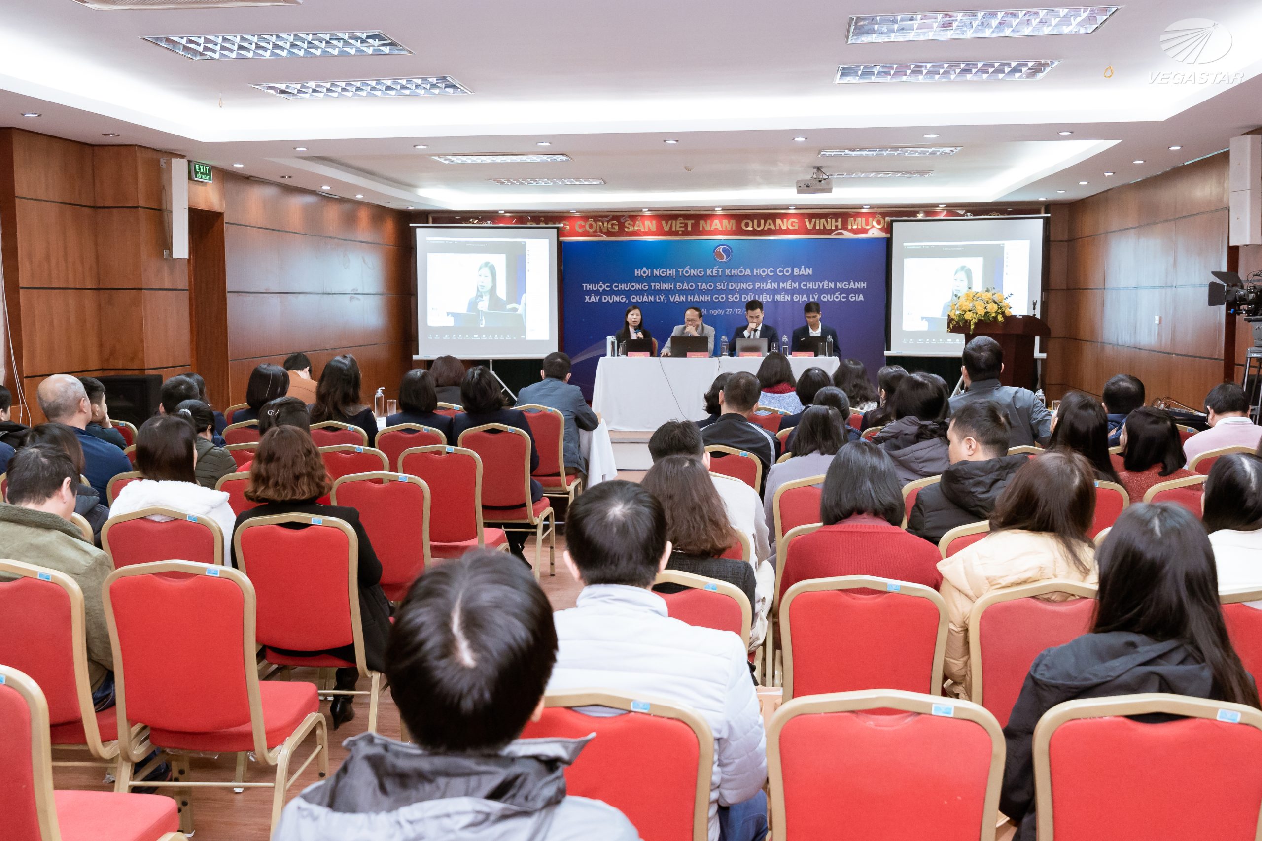
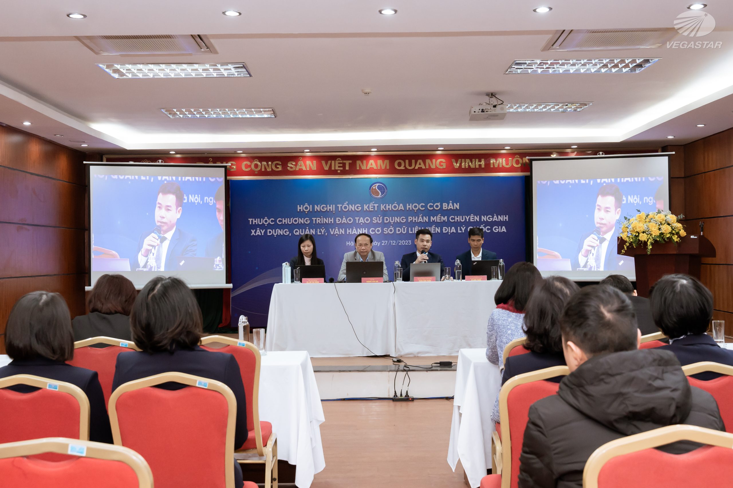
Overview of the conference.
“I believe that with the knowledge and experience gained from this training, management staff will be able to make informed and precise decisions related to geographic data tasks. For technical staff, this will provide them with in-depth GIS expertise, enabling them to contribute significantly to projects involving the construction and updating of the geographic database. Moreover, each participant will gain not only new GIS knowledge but also confidence and passion for the geographic information field,” emphasized Mr. Duong Van Hai.
In her report on the training results, Ms. Do Thi Hang, Deputy Director of VSGA, stated that the course attracted over 3,800 participants, with nearly 1,000 joining after the course launch. On average, the platform recorded over 500 activities daily, with peaks reaching 1,000 activities.
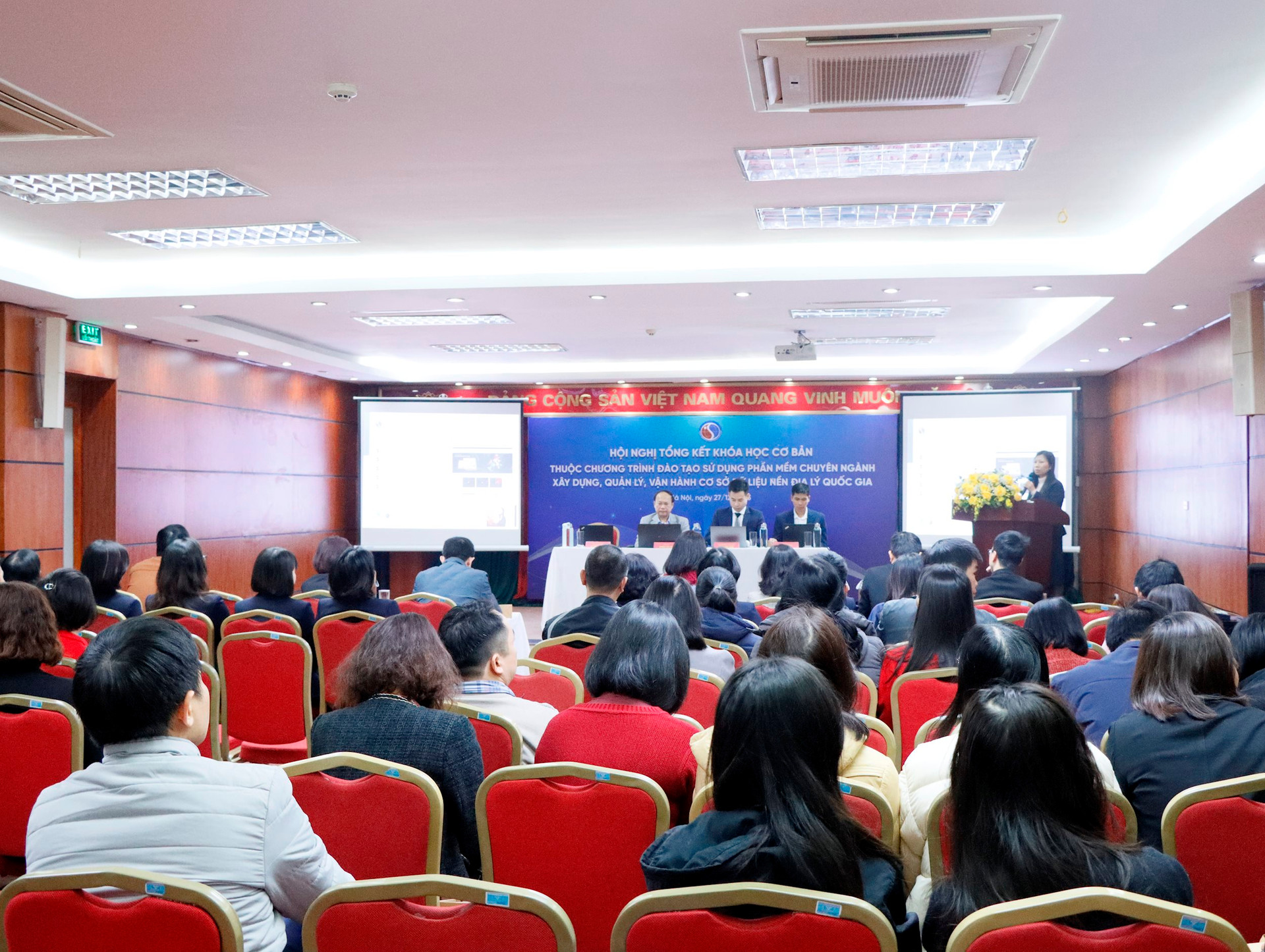
Dr. Do Thi Hang – Deputy Director of VSGA presented a report of the conference.
The E-learning platform, boasting a stable operation rate of 99.8% uptime, continuously supported participants through various channels, facilitating quick and convenient interaction between learners and instructors.
Regarding the learning outcomes, 1,493 participants successfully completed the basic course (Cohorts 1 and 2), with 508 participants completing both courses and receiving certification from the Department of Survey, Mapping, and Geographic Information of Vietnam.
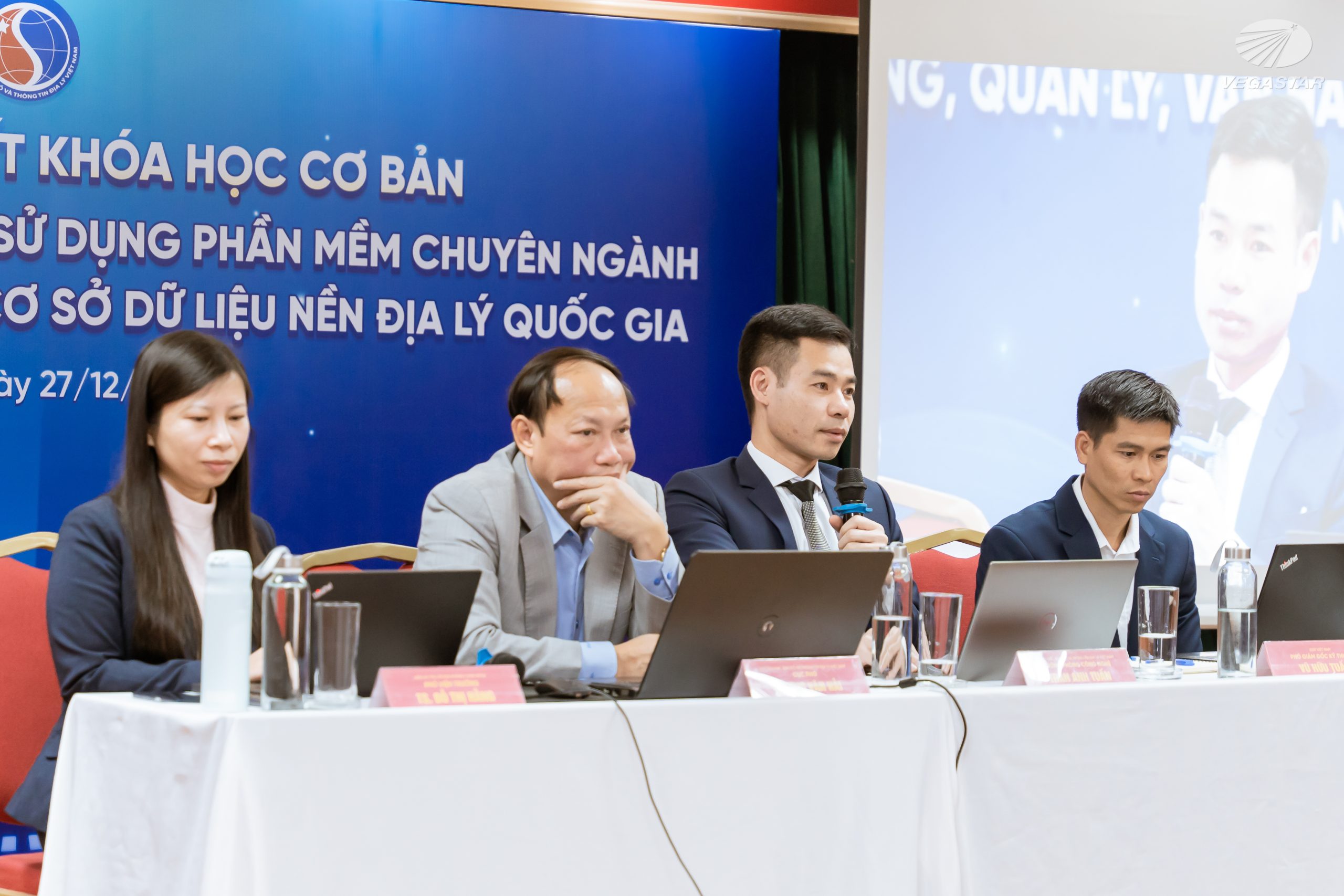
Mr. Tran Anh Tuan – Head of the Survey, Mapping and Geographic Information Technology Division, answered questions from learners.
At the conference, leaders from the Department addressed participants’ questions about the curriculum, the ArcGIS software licenses provided for training purposes, and methods for converting the structure and content of the national geospatial database using software tools or manual processes through field mapping in ArcGIS.
Some images from the conference:
