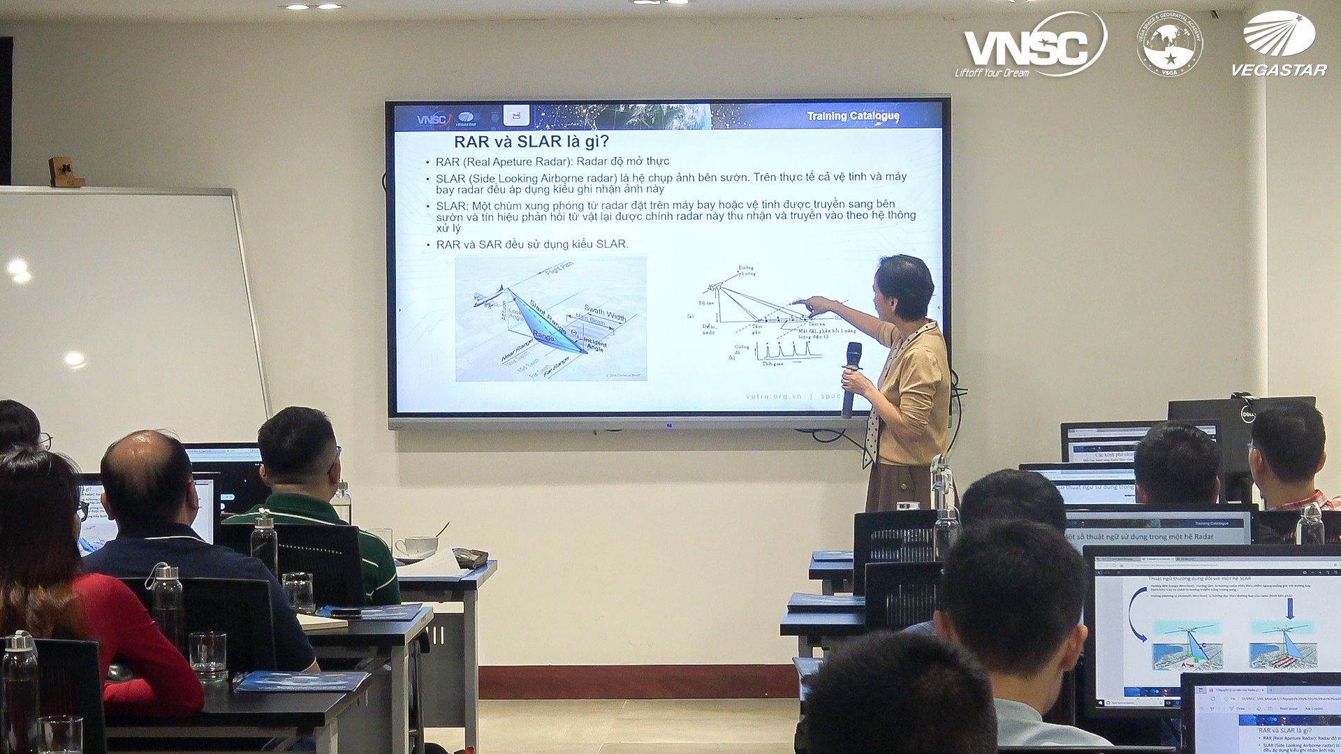
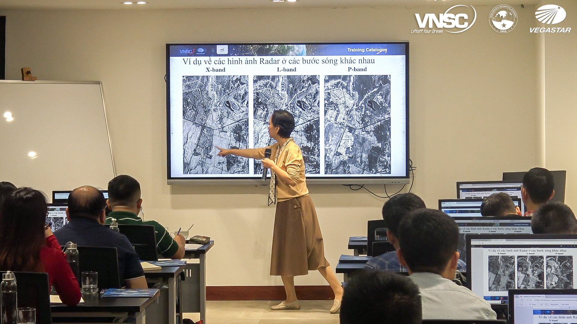
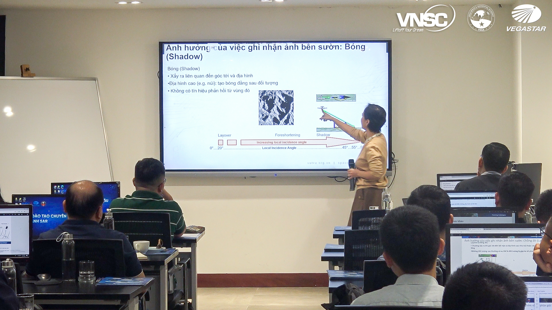
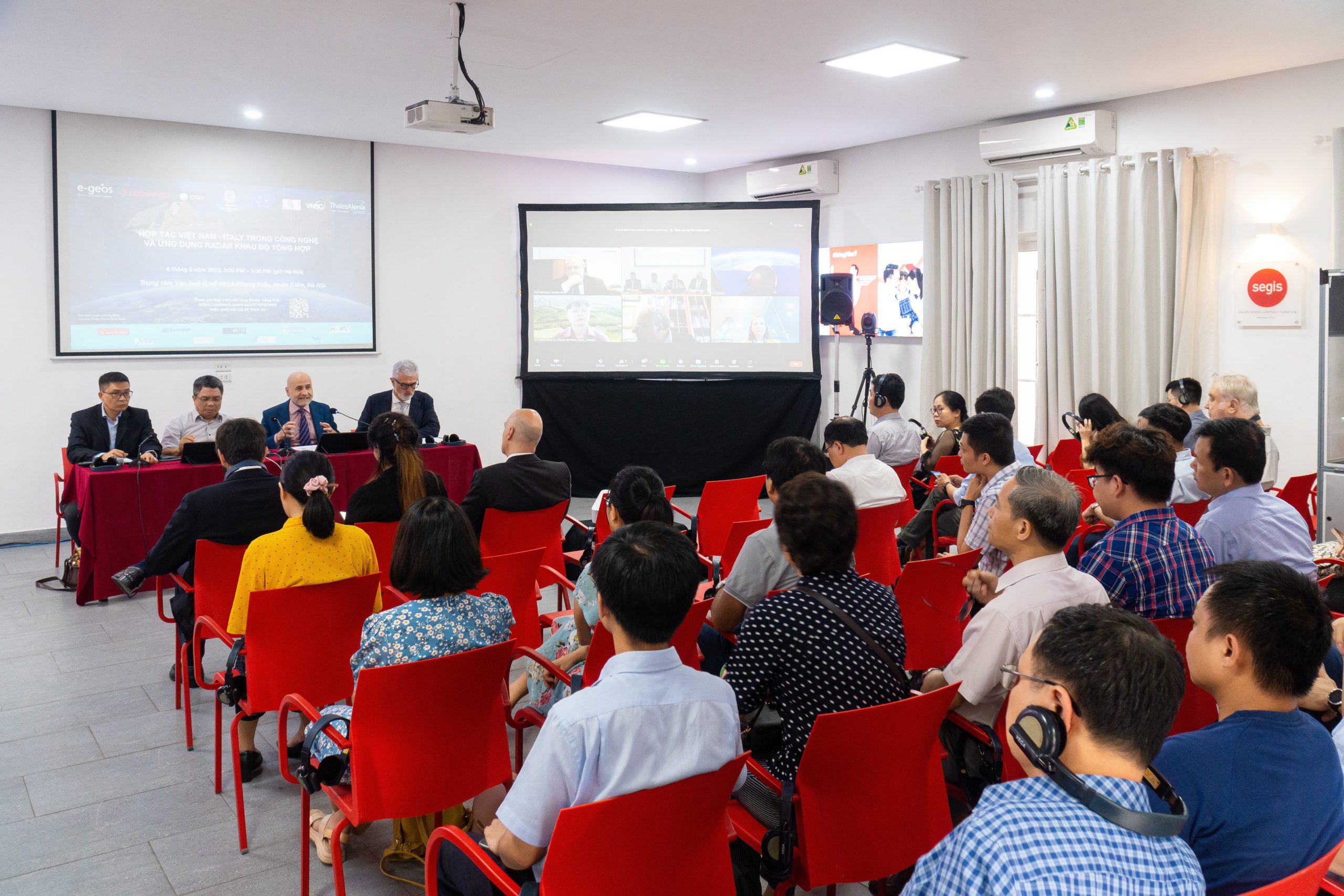
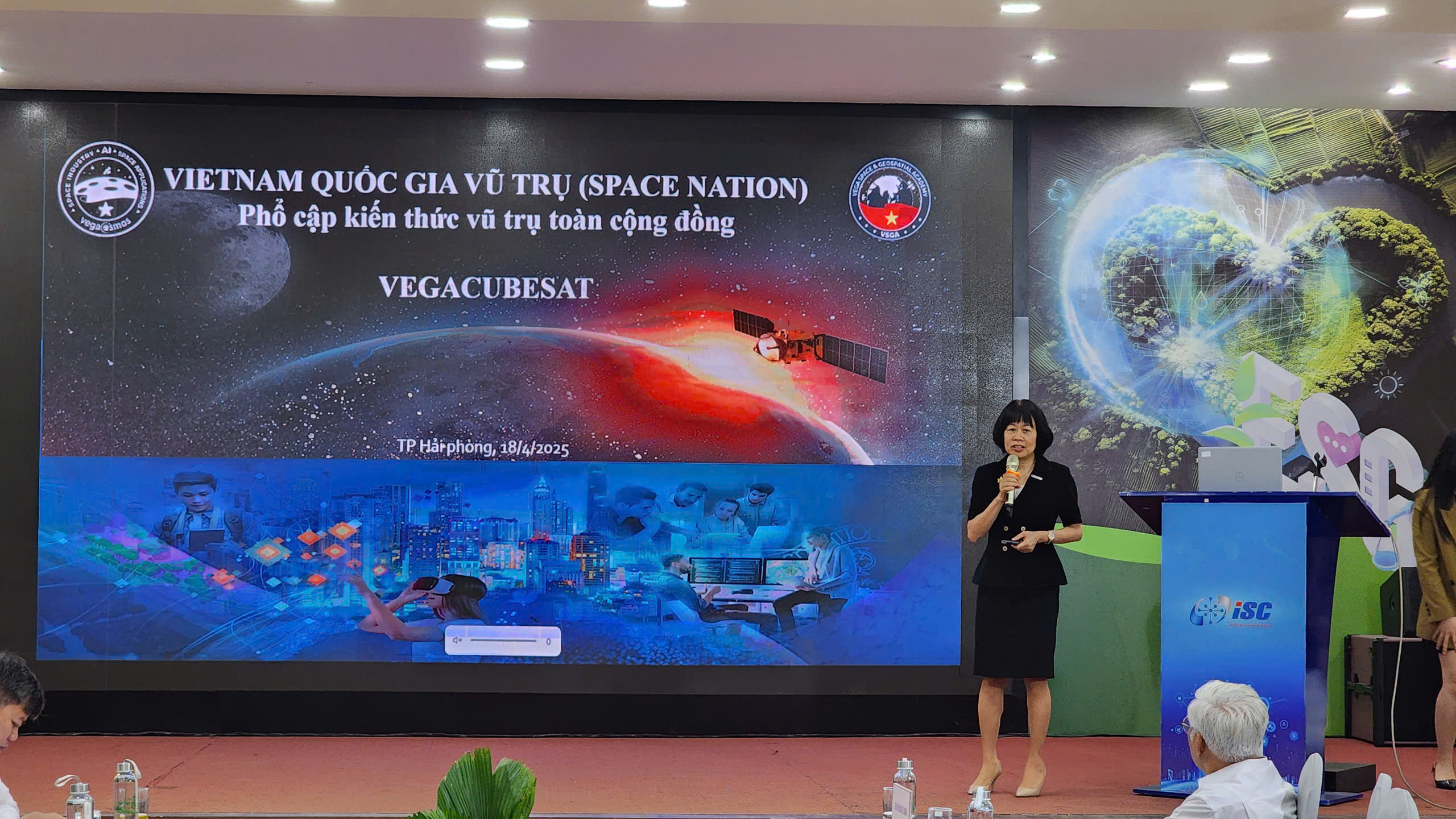
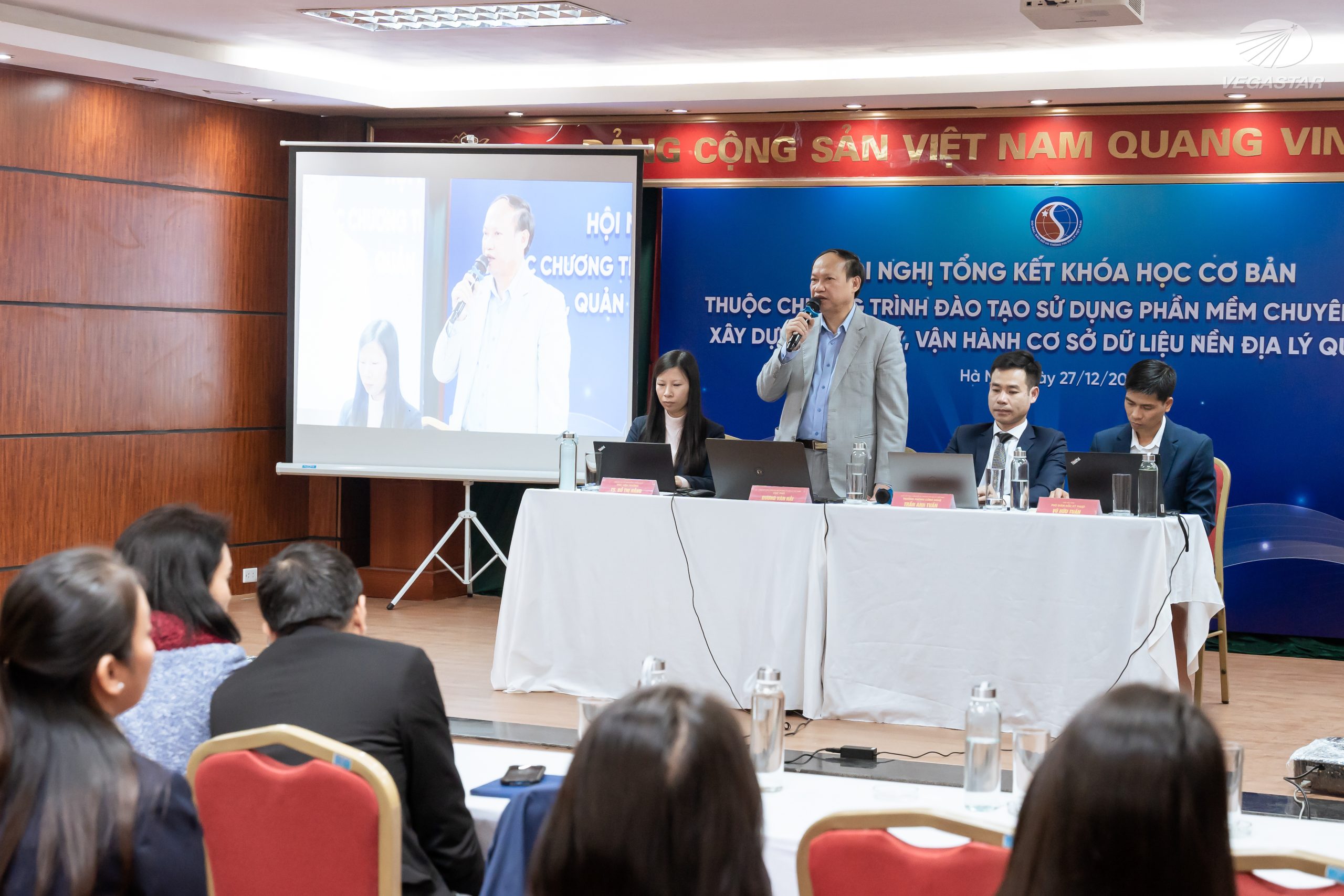
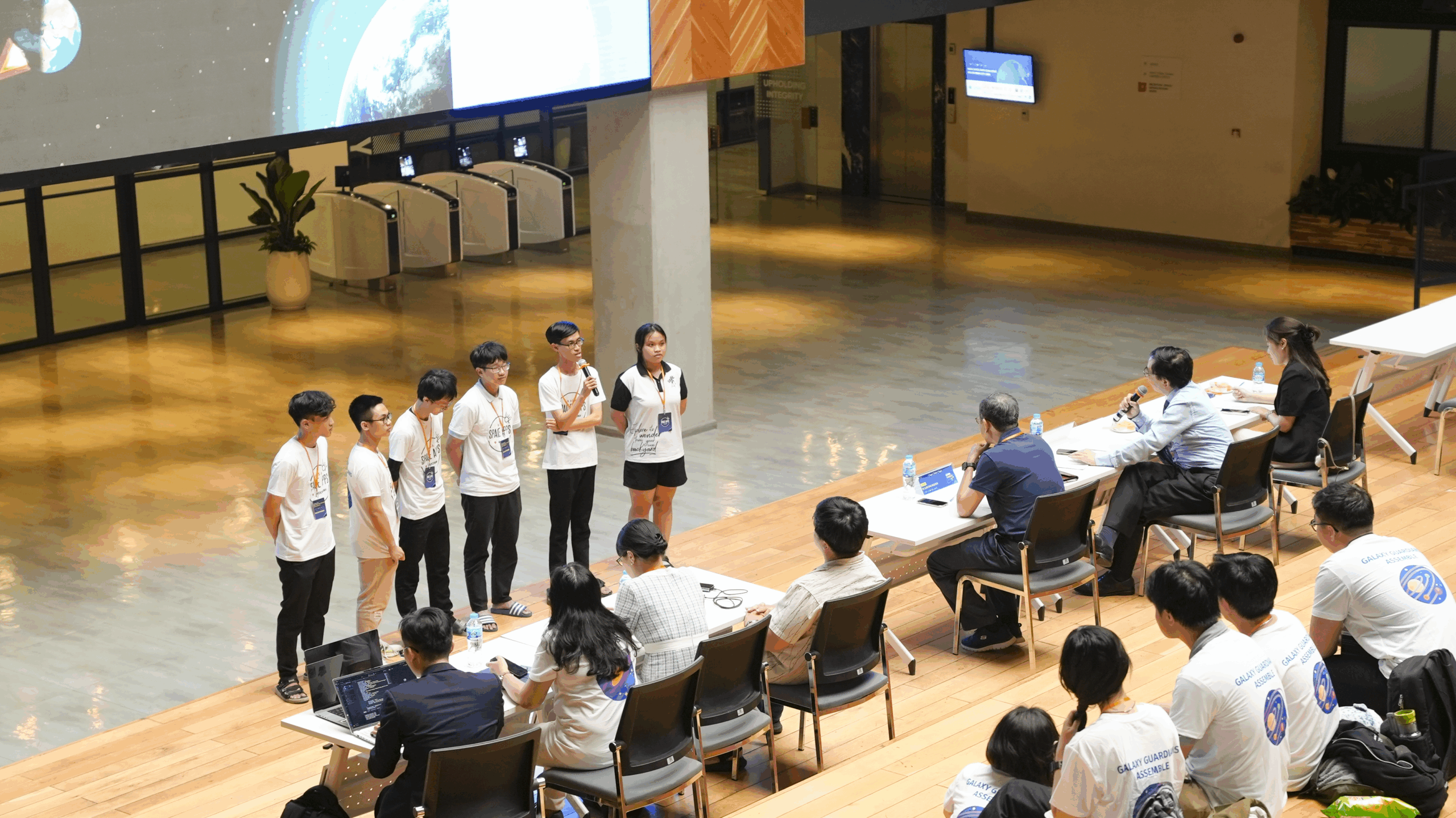
Hanoi, Vietnam – November 27, 2023 – Vietnam National Space Center (VNSC), under the Vietnam Academy of Science and Technology (VAST), launched an advanced training course on Synthetic Aperture Radar (SAR) image processing. Vegastar Technology is proud to be the chosen partner to deliver this comprehensive training program, offering both in-person and online learning formats.
Vietnam National Space Center is implementing the “Advanced SAR Image Processing Training” as part of the LOTUSat-1 Satellite System under the Vietnam Space Center Project.
One of the key aspects of this initiative is the transfer of technology for SAR image processing. This content focuses on transferring cutting-edge technologies related to synthetic aperture radar (SAR) imaging and SAR image resource applications. This is the core technology used in the LOTUSat-1 satellite, which is closely linked to the advanced human resource training associated with the application of these technologies. This effort will enhance the capacity of participants and maximize the utilization of resources from the LOTUSat-1 satellite.
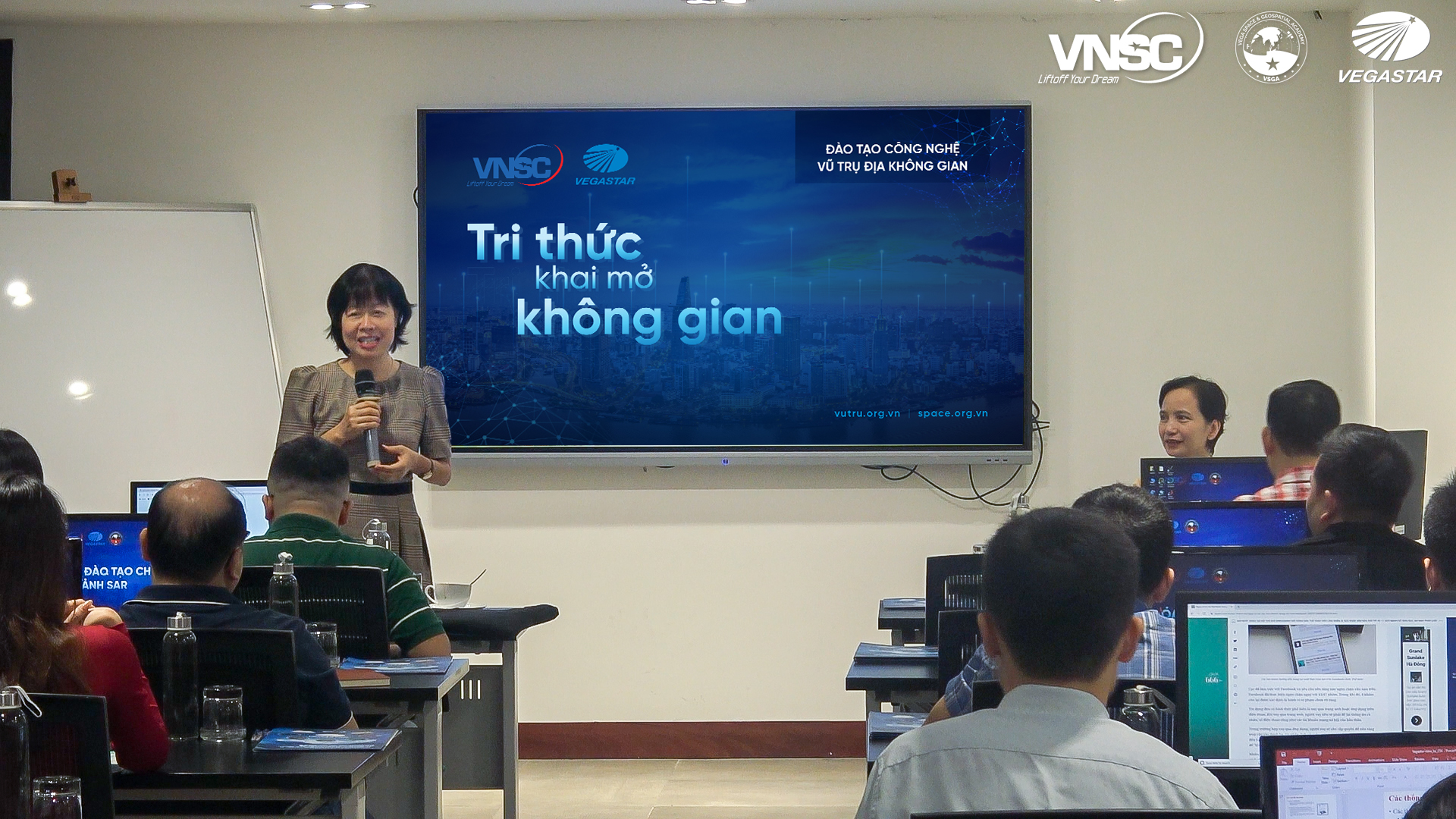
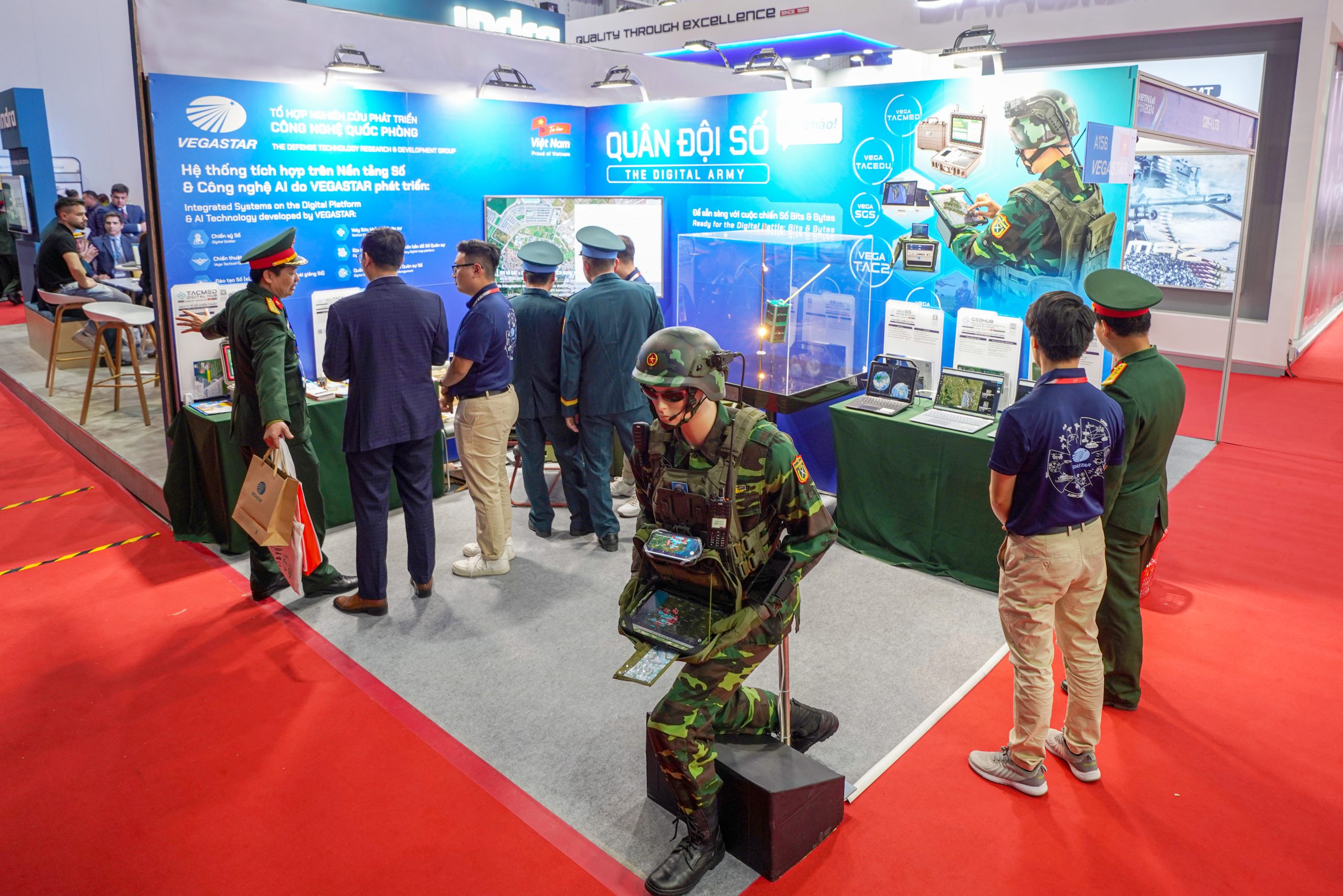
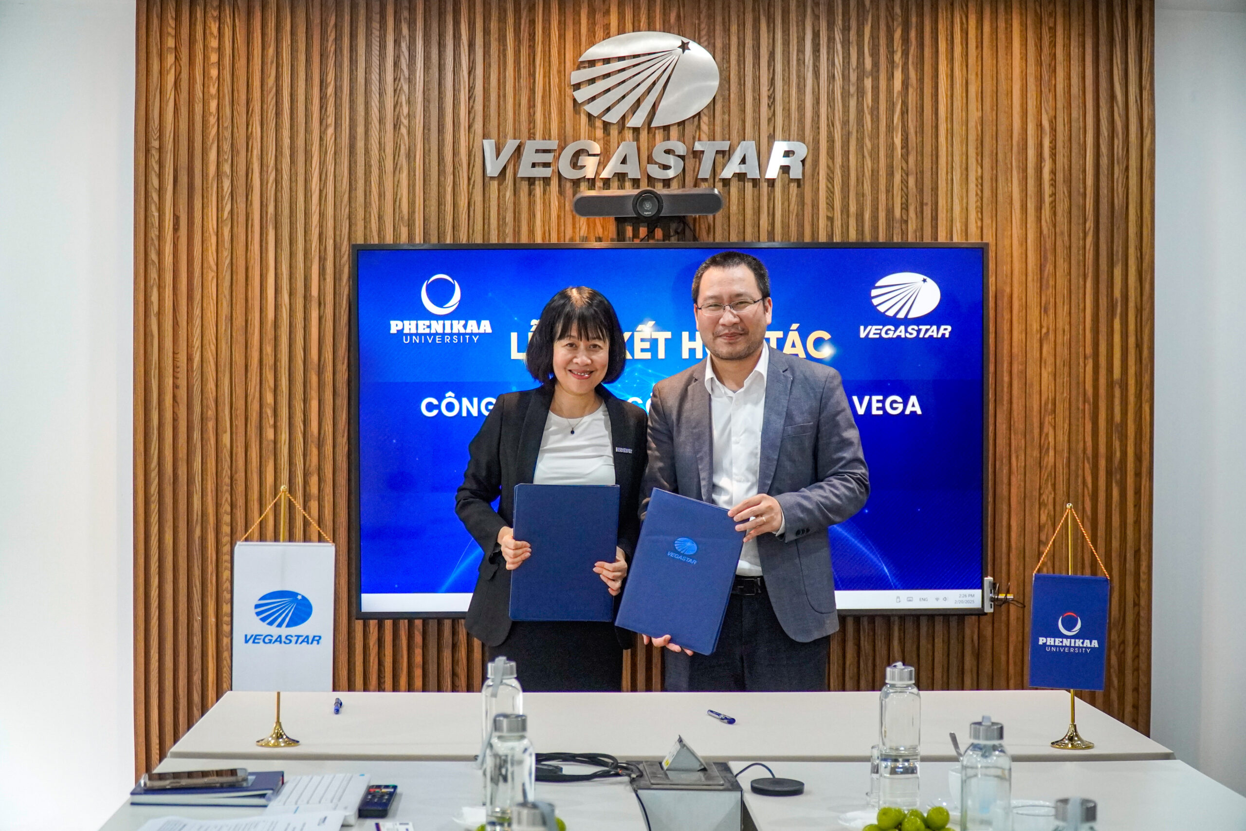
Vegastar Technology is proud to be the chosen partner for organizing the course through both direct and online formats.
Participants in the training course include representatives from the National Remote Sensing Department, Vietnam National Space Center, Fulbright University, the Institute of Geology and Marine Physics, as well as various other institutes and government ministries.
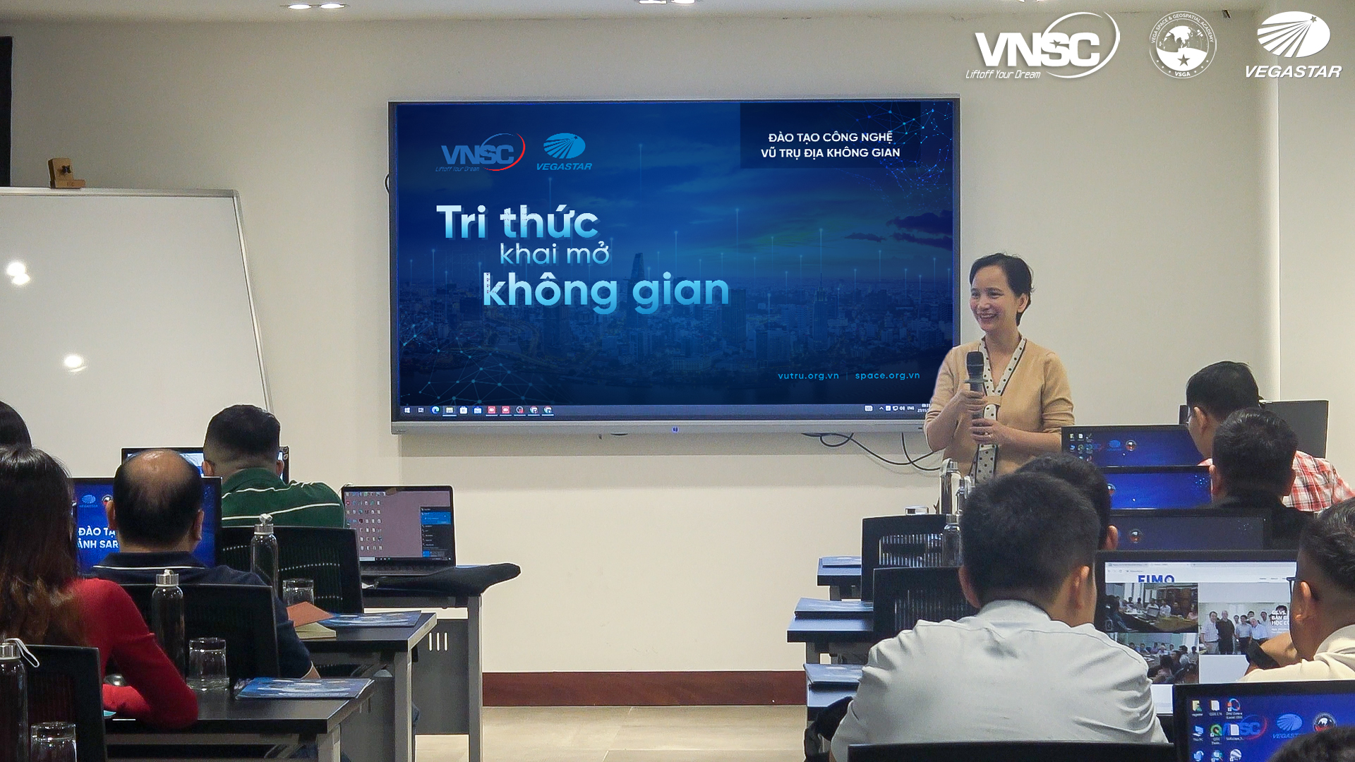
Following this was a series of training modules:
– Module 1: “Theory of RADAR Remote Sensing” instructed by Dr. Tran Van Anh, an Earth Science specialist from Osaka City University, Japan, and lecturer at the Hanoi University of Mining and Geology.
– Module 2: “Applications of SAR Imagery Worldwide” led by Dr. Tran Quoc Cuong, Director of the Center for Remote Sensing & Geomatic (VTGEO) at the Institute of Geology, VAST.
– Module 3: “Characteristics of LOTUSat-1 Imagery and Image Processing” conducted by senior experts from VNSC.
– Module 4: “Application of SAR in Forest Monitoring in Vietnam” presented by Dr. Ho Tong Minh Dinh, a leading expert in InSAR technology and instructor for the IGRASS 2020 and 2021 InSAR training courses.
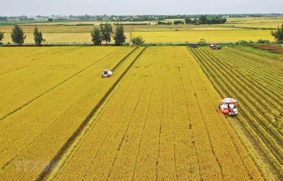
– Module 5: “Application of SAR in Rice Monitoring in Vietnam” delivered by a senior expert.
– Module 6: “Application of SAR in Disaster Prevention in Vietnam” and Module 7: “Application of SAR in Monitoring Artificial Targets in Vietnam” taught by Assoc. Prof. Dr. Pham Van Cu, from the Department of Geography, UQAM (Université du Québec à Montréal), Canada.
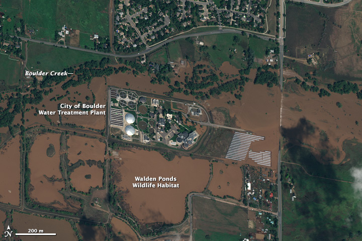
This training course will promote the use of SAR imagery, which is still underutilized in Vietnam, and unlock the potential of capturing information through active imaging techniques. It will improve the frequency of nighttime imaging and enable image collection under all weather conditions, supplementing the information limitations of optical remote sensing imagery.
Here are some images:
