With approximately 82% of cultivated land dedicated to rice production, Vietnam is among the world’s leading exporters of rice. The rice farming industry plays a crucial role in ensuring national food security and driving socio-economic development. However, it currently faces numerous challenges that impact crop productivity. These challenges stem from climate change, land use conversion, and limitations in management and monitoring of production processes.
In the context of today’s technological advancements, the application of high-tech solutions, such as space technology, in monitoring rice cultivation areas is becoming increasingly widespread. Leveraging the ability to monitor large areas with consistent frequency through extensive satellite imagery, remote sensing technology supports the calculation of rice cultivation areas, tracks crop growth stages, detects pest-infested areas, and forecasts rice yields using information extraction methods powered by artificial intelligence (AI), machine learning, and deep learning models.
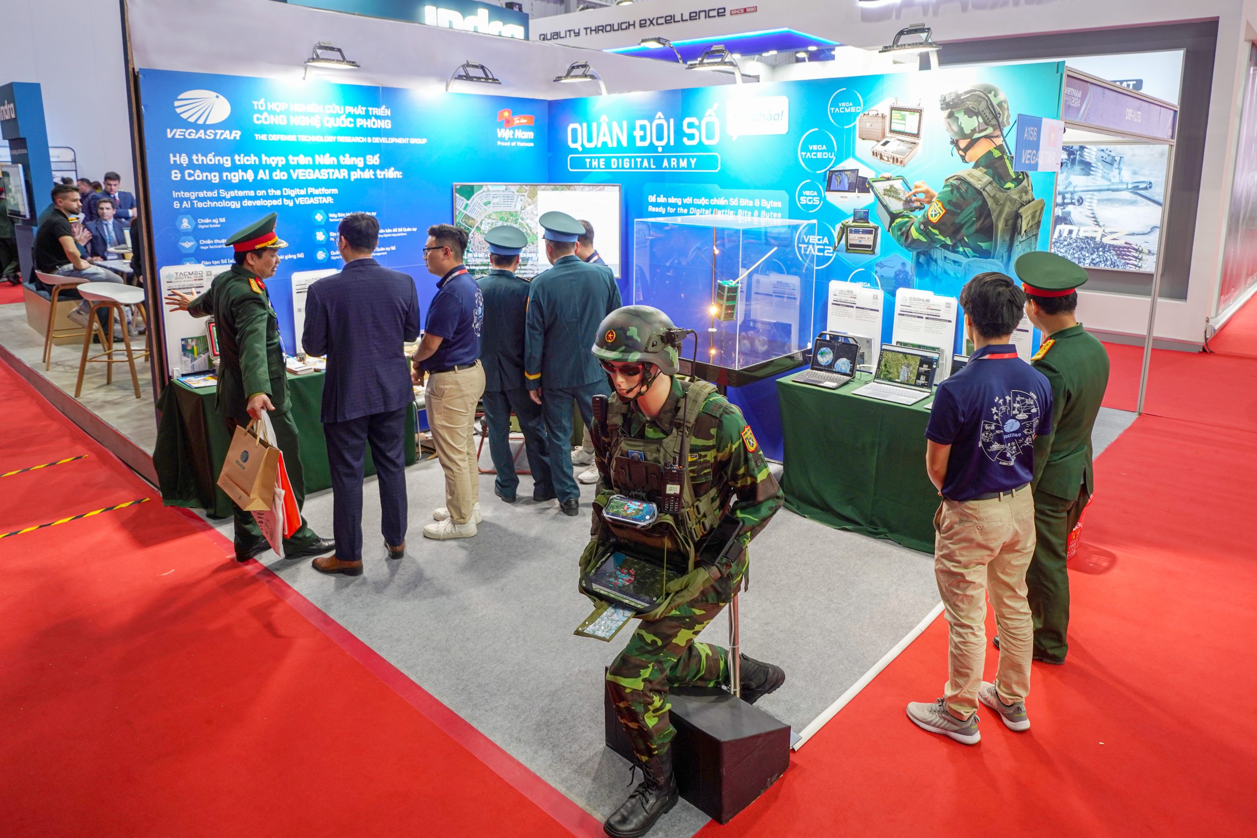
Among the current technological solutions, the GEOHUB intelligent geospatial platform, developed by VEGASTAR TECHNOLOGY stands out. GEOHUB integrates remote sensing data with AI technology, enabling real-time crop monitoring, early anomaly detection, and providing decision-support information for agricultural cooperatives, businesses, and management agencies.

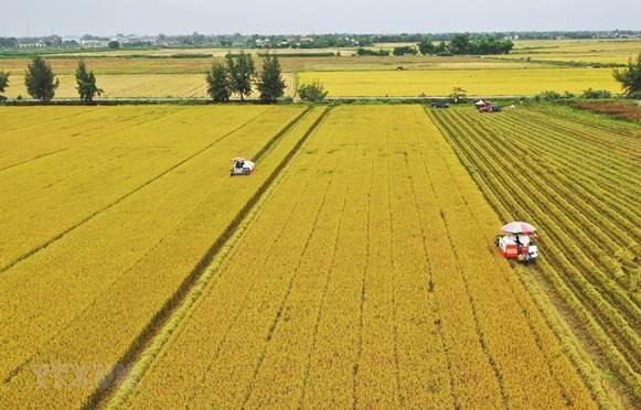
Agricultural activities in Vietnam take place on a large scale
Remote sensing utilizes data collected remotely by airborne devices such as airplanes, drones, and space-based equipment like satellites, offering continuous, periodic data collection over vast areas. The GEOHUB intelligent geospatial platform, developed by VEGASTAR TECHNOLOGY is a closed-loop management system that allows users to leverage remote sensing technology through searching, integrating, and managing multi-source data, along with rapid data processing, analysis, and convenient statistical reporting tools. GEOHUB provides applications for monitoring rice cultivation areas, tracking growth processes, and detecting early signs of anomalies to issue timely warnings, enabling targeted interventions and cost savings for cooperatives and farmers.
Satellite technology provides two distinct types of imagery data: optical and radar. Each type has its own advantages and limitations, offering different types of information, and they are often used in combination to maximize data value for analysis and processing. The integration of optical and radar imagery in monitoring rice cultivation areas has proven effective.
Optical satellite imagery functions similarly to what the human eye sees, providing visual representations of rice fields and clearly identifying areas with stable growth or anomalies. From optical imagery data, experts can calculate key indicators such as the Normalized Difference Vegetation Index (NDVI), a critical metric used to assess the health and development of vegetation.
In contrast to optical imagery, radar imagery does not display in multi-color formats. Radar data consists of signal intensity recorded by sensors after interacting with objects on the Earth’s surface. Although radar data excels at representing the physical characteristics of surface objects, it is considered challenging to interpret directly due to the complexity of radar signal properties and the way information is presented. As rice plants grow, physical characteristics such as height and canopy density change, leading to variations in the intensity of reflected radar signals, known as backscatter values, based on radar polarization (horizontal and vertical). The two commonly used polarization types are:
- VV Polarization (vertical transmit, vertical receive): Clearly represents information about soil moisture and the physical structure of rice plants (objects with vertical physical distribution).
- VH Polarization (vertical transmit, horizontal receive): By combining both polarizations, it effectively represents plant height, density, and canopy thickness.
On the GEOHUB platform, radar and optical imagery data are integrated, processed, and visualized for individual cultivation plots, enabling real-time monitoring of rice growth and supporting accurate yield forecasting.
Using satellite imagery data, rice growth parameters are recorded and analyzed over time, corresponding to different growth stages:
- Vegetative growth stage
- Reproductive stage (yield formation, days 35–60)
- Maturity stage (days 70–100)

Chart of VH polarization backscatter values for rice across seasons from 2020 to 2022

Map of rice growth monitoring corresponding to development stages
The application of remote sensing is not only a significant technological advancement but also a transformative approach to accessing and utilizing information. This technology offers users faster, more efficient, and sustainable access to data compared to traditional methods. With its superior advantages and wide-ranging applications, space technology plays a vital role in the effort to digitize Vietnam’s agricultural sector. This provides managers, cooperatives, and farmers with an effective tool to proactively monitor crops, develop timely response strategies, and minimize both immediate and future challenges.
With GEOHUB—a “Made in Vietnam” intelligent geospatial solution— VEGASTAR TECHNOLOGY is bringing space data closer to farmers, promoting a precise, modern, and sustainable agricultural future for Vietnam.